weather.com meteorologists
Fred is expected to strengthen some in the days ahead as it draws closer to Florida, where there is the potential for rain and wind impacts this weekend.
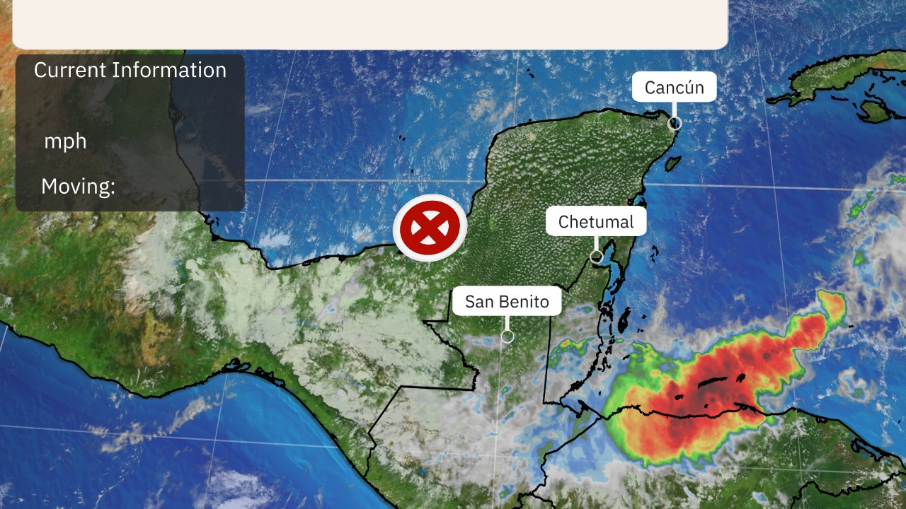
Fred is centered near the north coast of Cuba and is tracking toward the west-northwest at 10 to 15 mph. Fred remains disorganized because of unfavorable upper-level winds and land interaction.
Heavy rain will continue in parts of eastern Cuba and the southeastern Bahamas Friday.
 Current Satellite
Cuba can expect to receive 2 to 5 inches of rainfall, with isolated totals of 8 inches. Across the Bahamas, 1 to 3 inches of rainfall is possible with isolated totals up to 5 inches.
Current Watches and Warnings
Tropical storm warnings have been issued for the Florida Keys and Florida Bay. Tropical storm conditions are expected here on Saturday.
Tropical storm watches are posted for the southwestern coast of Florida from Englewood south and east to Ocean Reef. Tropical storm conditions are possible in these areas outlined in yellow below beginning Saturday.
Tropical storm watches also continue in portions of Cuba where winds of 40 mph are possible through Friday.

Forecast Track, Intensity
The official forecast from the NHC below shows that Fred will move generally west-northwest with a turn more to the northwest over the next few days. When it makes the northwest and northward turn remains a bit uncertain due to more spread in the models.
In terms of intensity, moderate wind shear and land interaction with Cuba will slow down Fred from strengthening much, if at all, on Friday.
Be Prepared For The Next Storm With This First Aid Kit (SPONSORED)
 Current Status, Forecast Path
Fred could be located over the waters just south of Florida by late Friday, where some slow reorganization of the system might begin. That will depend on how much Fred remains intact and whether wind shear relaxes to some degree. However, moisture is abundant there and sea-surface temperatures are very warm, which could lead to gradual strengthening.
It is then expected to track across the Florida Keys and near the western coast of the Florida Peninsula this weekend with little additional strengthening because of land interaction, as depicted by the far right side of the forecast path above. There is also the possibility that Fred could track into the eastern Gulf of Mexico, where wind shear might weaken enough to allow some intensification, as the official NHC forecast indicates right now.
Keep in mind that Fred's forecast is highly subject to change given the wind shear and land interaction obstacles we've described above.
Regardless, it appears at least some rain and wind impacts are likely in Florida later Friday into this weekend. Details on the magnitude of those impacts are still uncertain. Below we break down what we know about the potential impacts right now.
Forecast Impacts
Rainfall
Locally heavy rainfall is the most certain impact that Fred will bring to Florida. Much of Fred's rainbands will likely be spread to the north and east of Fred's center as it nears the Gulf of Mexico due to strong wind shear.
This lopsidedness will keep the heaviest rainfall over the Sunshine State.
Parts of southern and central Florida and the Keys could see 3 to 7 inches of rain through Monday, with isolated maximum totals of 10 inches, according to the National Hurricane Center. The heavy rainfall could lead to flash flooding and rapid river rises.
 Rainfall Forecast
Wind
Tropical-storm-force winds (39 mph or greater) are possible in parts of Florida this weekend. Exactly where those stronger wind gusts occur will depend on the future track and intensity of Fred.
Winds of 40 mph could arrive in the Florida Keys by early Saturday.
Winds to tropical storm strength could arrive in South Florida Saturday morning. From there, those winds might spread up the western Florida Peninsula and into the Panhandle region through the weekend and possibly into early next week.
Tornadoes
A few tornadoes could spin up in South Florida beginning Saturday afternoon as bands of rain and thunderstorms pivot into the coast.
There may also be a tornado threat farther north into Florida and other parts of the Southeast from Sunday into Monday.
Coastal Flooding
It's too early to know whether there will be any coastal flooding threat from storm surge. But increased swells could arrive in southern Florida by early Saturday.
The Weather Company’s primary journalistic mission is to report on breaking weather news, the environment and the importance of science to our lives. This story does not necessarily represent the position of our parent company, IBM.
The Weather Company’s primary journalistic mission is to report on breaking weather news, the environment and the importance of science to our lives. This story does not necessarily represent the position of our parent company, IBM.


No comments:
Post a Comment