weather.com meteorologists
Tropical Storm Fred is strengthening as it approaches landfall later today in the Florida Panhandle, where it will bring flooding rain, gusty winds, storm surge and isolated tornadoes. Soaking rainfall and possible flooding from Fred and its remnant will also spread inland across parts of Alabama, Georgia, the western Carolinas and mid-Atlantic region.
Fred is centered about 80 miles south-southwest of Apalachicola, Florida, and is tracking north at 10 mph.
Bands of heavy rain packing gusty winds are spreading into the Florida Panhandle as Fred approaches. Maximum sustained winds in Fred have increased to 60 mph.
 Current Radar, Watches, Warnings
A tropical storm warning has been issued for a part of the Florida Panhandle, from Navarre to the Wakulla/Jefferson County line, including Panama City. The tropical storm warning also extends inland into southeast Alabama and southwest Georgia.
Tropical storm conditions (39+ mph winds) are expected in these areas on Monday
 Tropical Storm Alerts
Forecast Track, Intensity
Fred will move through the eastern Gulf of Mexico and could be a moderate to strong tropical storm before making landfall Monday afternoon or evening. However, wind shear should prevent Fred from intensifying too quickly over the warm Gulf waters.
The storm will weaken quickly the farther inland it tracks across eastern Alabama and western Georgia through Tuesday, but will still pack a heavy rain threat.
Be Prepared For The Next Storm With This First Aid Kit (SPONSORED)
 Current Status, Forecast Path
Forecast Impacts
Rainfall
Heavy rainfall is likely to be the most widespread impact that Fred will bring to the northern Gulf Coast and other areas farther inland over the Southeast. The rain in areas farther inland will be enhanced by a frontal boundary.
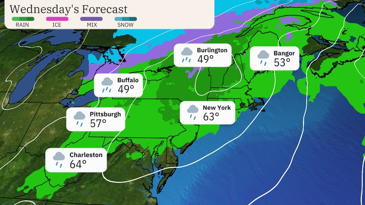
Fred's moisture and remnant energy could also enhance rainfall as far north as the Central Appalachians, mid-Atlantic and Northeast through Wednesday.
The National Hurricane Center (NHC) is predicting the following rainfall totals through early this week.
-4 to 8 inches (locally up to 12 inches) in the Florida Big Bend and Panhandle regions.
-4 to 7 inches (locally up to 10 inches) from southeast Alabama to parts of western and northern Georgia and the western Carolinas.
-2 to 4 inches (locally up to 6 inches) in parts of the mid-Atlantic region through Wednesday.
This rainfall could trigger some flash flooding as well as small stream or river flooding.
 Rainfall Forecast
Flash flood watches have been issued by the National Weather Service from a part of the Florida Panhandle to as far north as northern Georgia.
 Flood Alerts
Wind
Tropical storm-force winds (39+ mph) are expected in the tropical storm warning area beginning Monday morning.
Stronger wind gusts could trigger some scattered power outages and down trees.
Storm Surge, High Surf
Coastal flooding from storm surge should be minor to moderate for the most part.
The NHC predicts a storm surge of 3 to 5 feet above normal tide levels if the peak surge arrives at the time of high tide on the Florida Panhandle, from Indian Pass to Steinhatchee River. Storm surge could be 2 to 4 feet above normal tide levels from Steinhatchee River to Yankeetown.
Other parts of Florida's Panhandle and Big Bend regions could see a storm surge of 1 to 3 feet.
A storm surge warning is in effect from Indian Pass to Yankeetown.
High tide is generally in the morning hours of Monday and Tuesday for this general region.
High surf and dangerous rip currents will also affect the Gulf Coast early this week, from Mississippi to Alabama and the Florida Panhandle. Beachgoers are urged to stay out of the water.
 Storm Surge Forecast
Tornadoes
There could be an isolated tornado threat Monday and Monday night as Fred moves inland from the Florida Panhandle to eastern Alabama and western Georgia.
The Weather Company’s primary journalistic mission is to report on breaking weather news, the environment and the importance of science to our lives. This story does not necessarily represent the position of our parent company, IBM.
The Weather Company’s primary journalistic mission is to report on breaking weather news, the environment and the importance of science to our lives. This story does not necessarily represent the position of our parent company, IBM.


No comments:
Post a Comment