Jonathan Erdman
A fresh round of cool air by May standards will plunge into much of the country this weekend and could linger much of next week from the Rockies and Plains to the South and East.
Despite the fact that we're pushing closer to summer, the atmosphere sometimes chimes in to remind us that May is still a spring month, with all of its changeable weather.
Such is the case this weekend and the week ahead over most of the eastern two-thirds of the nation.
How Chilly?
The next cold front will nosedive southward through the Rockies and Plains as far south as Texas by Mother's Day. It will then sweep through the rest of the Midwest and East before stalling out for a time over the Deep South.
We're not expecting widespread record cold by mid-May standards, but you'll probably need a jacket, even in the middle of the day, in many of the affected areas.
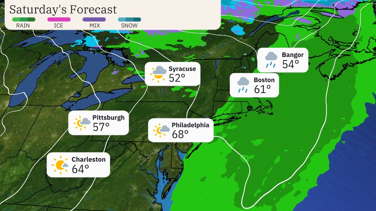
By this weekend, highs in the 50s will be common in the northern Rockies, northern Plains and much of the Midwest and interior Northeast.
By Monday and Tuesday, highs may not rise out of the 40s in the Rockies, High Plains, northern Great Lakes and some higher terrain of the interior Northeast. A few of the coldest spots in the Rockies and Front Range may shiver in the 30s. Parts of the South may struggle to see highs rise out of the 60s, including Dallas-Fort Worth.
And this could lead to a frost or freeze from parts of the interior Northeast to the Midwest, northern Plains and High Plains of the Rockies. Be sure to cover any tender vegetation or bring any plants inside at night.
(MAPS: 10-Day U.S. Forecast Highs and Lows)
 Forecast Lows
According to the latest extended-range forecasts, this cooler-than-average regime may hold through much of the week in the Southeast, while milder air expands from the West into the Plains late in the week.
 Extended Range Temperature Outlook
It 'May Snow'
It even looks cold enough for snow in parts of the Rockies, and not just over the higher peaks.
We expect surface temperatures to be cold enough, at times, to support wet snow in the lower elevations of southeastern Wyoming, northeastern Colorado and perhaps far western Nebraska and extreme northwestern Kansas.
This lower-elevation snow is expected to develop Monday and may continue through Tuesday morning.
Several inches of accumulation are possible in Cheyenne and Laramie, Wyoming, and we can't rule out at least some wet snow and light accumulations on grass along the Denver-Boulder-Fort Collins urban corridor, particularly at night.
As usual in these spring snow events, the highest accumulations will be in the foothills.
This could lead to slippery travel on stretches of Interstate 80 in southeastern Wyoming, Interstate 70 from eastern Colorado into the High Country and Interstate 25 from southeastern Wyoming to the Palmer Divide between Denver and Colorado Springs.

Snow this late in the spring isn't unusual at all along the Front Range.
Accumulating snow has fallen in May five of the last 10 years in Denver, according to the National Weather Service. The latest spring accumulating snow on record in the Mile High City occurred on June 2, 1951.
The Weather Company’s primary journalistic mission is to report on breaking weather news, the environment and the importance of science to our lives. This story does not necessarily represent the position of our parent company, IBM.
The Weather Company’s primary journalistic mission is to report on breaking weather news, the environment and the importance of science to our lives. This story does not necessarily represent the position of our parent company, IBM.

No comments:
Post a Comment