Jonathan Erdman
Another East Coast storm is increasingly likely to develop this weekend, bringing more rain, wind and snow to parts of the Northeast and Appalachians just hit by a storm early this week.
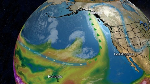
Similar to the storm affecting the East earlier this week, named Winter Storm Dane by The Weather Channel, this weekend Eastern storm is expected to develop from the teaming up of energy from two jet streams.
But it's not that simple.
There are typical uncertainties with the the track of the low-pressure system along or near the East Coast, how fast it moves, how intense it gets, and how much cold air will be available.

All those uncertainties affect who gets rain, who gets snow, how much of each, and how strong winds may become.
For now, we'll lay out our best outlook, but check back frequently for updates over the next few days as the forecast becomes clearer.
Friday
Rain and a few thunderstorms are possible in the Southeast Friday.
Some precipitation along the northern fringe associated with a cold front may fall as snow in parts of the Northeast and eastern Great Lakes.
 Friday Night's Forecast
Saturday
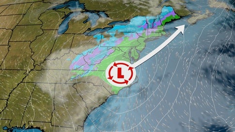
By Saturday, the majority of computer models suggest low pressure will have developed somewhere near the East Coast.
As mentioned earlier, the exact track and intensity of the low will be crucial for determining any impacts. That includes where the rain-snow line will set up and the strength of winds this system might produce.
For now, the best chance of snow Saturday stretches from parts of the Appalachians into the interior Northeast.
Closer to the Interstate 95 Northeast urban corridor, precipitation may fall mostly as rain Saturday and Saturday night. However, depending on the track of the low, some of this rain may change to wet snow in southern New England and the lower Hudson Valley Saturday night.
(MORE: Northeast Urban Corridor 'High-Impact Snowstorm' Drought Enters Third Winter)
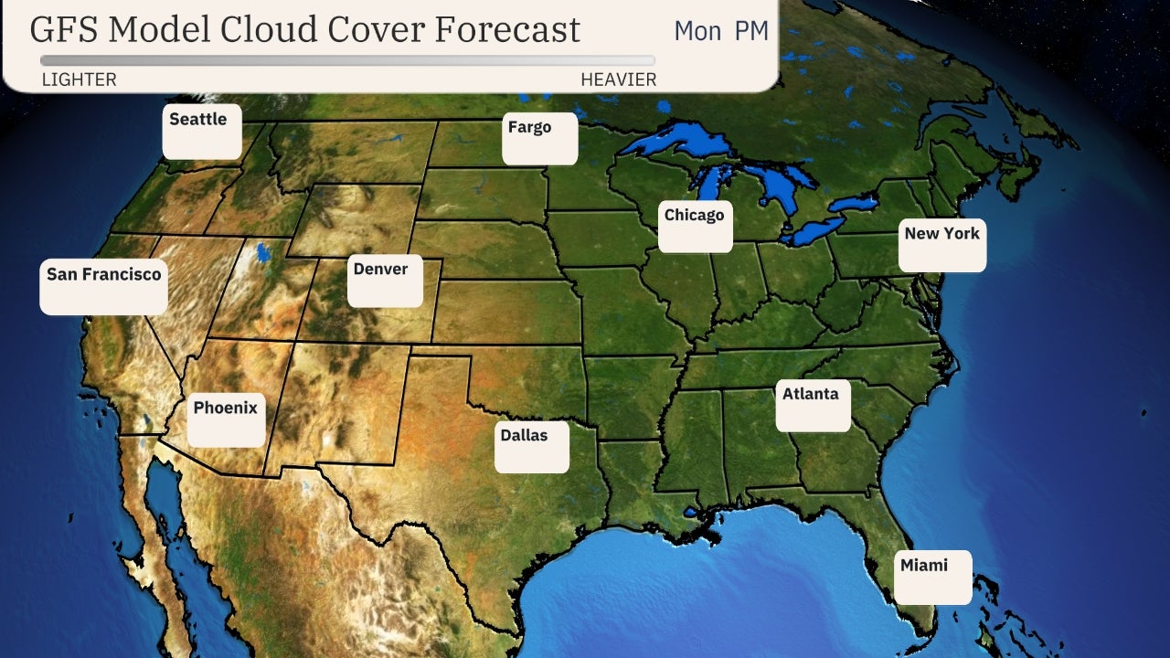 Saturday's Forecast
Sunday
By Sunday morning, most computer models suggest low pressure will be spinning somewhere near or over New England.
Assuming that happens, the best chance of accumulating snow Sunday and Sunday night is over the interior Northeast, from upstate New York into northern New England.
 Sunday's Outlook
Snow, Rain, Wind Potential
While it's still too soon to hone in on precise snow – and rain – total forecasts in the Northeast, the majority of computer forecast model guidance suggests the best chance of accumulating snow from this system will be in the interior Northeast from the Appalachians to northern New England.
Primarily rain is expected along the Interstate 95 corridor from New York City to Washington D.C.
Precipitation in southern New England should start as rain, but could change to wet snow, with some accumulation possible.
(MORE: Northeast High-Impact Snowstorm Drought Enters Third Winter)
 Rain, Snow Outlook
If the low-pressure system becomes strong, some high wind gusts are possible, particularly near the coast of New England.
The Weather Company’s primary journalistic mission is to report on breaking weather news, the environment and the importance of science to our lives. This story does not necessarily represent the position of our parent company, IBM.
The Weather Company’s primary journalistic mission is to report on breaking weather news, the environment and the importance of science to our lives. This story does not necessarily represent the position of our parent company, IBM.


No comments:
Post a Comment