weather.com meteorologists
A New Year's storm will bring snow and ice to portions of the Plains, Midwest and interior Northeast, where it's likely to hamper travel in multiple states.
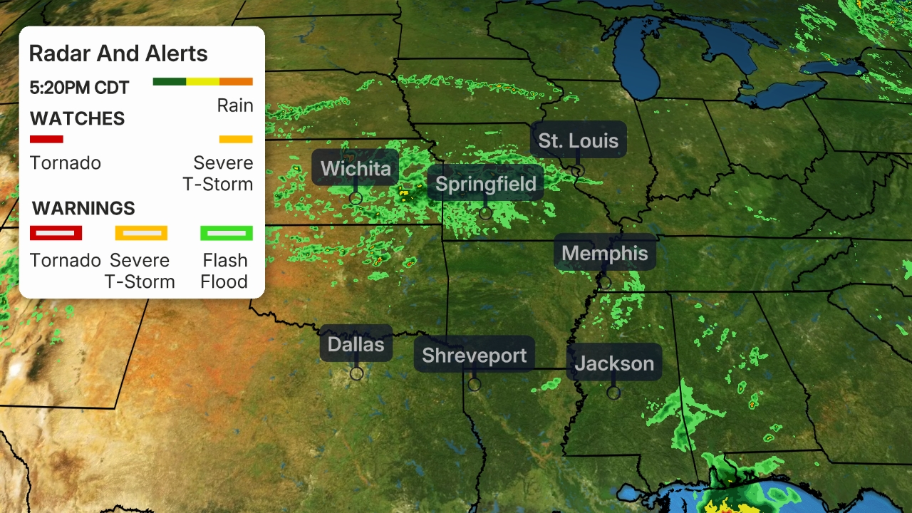
Low pressure will develop over Texas by Thursday. From there, it will track toward the Great Lakes and Northeast by early Saturday. Where this system encounters colder air on its western and northern periphery, it will spread snow and/or ice from the Plains and Midwest to the interior Northeast. It will also bring heavy rain and severe thunderstorms to parts of the South.
Winter storm alerts are in effect from Southwest Texas to the Midwest ahead of this system. The worst conditions over the next day are expected where winter storm warnings are in effect. These conditions will likely include dangerous driving conditions, power outages and blowing snow.
(MORE: Heavy Rain, Severe Storms Threat South This Week)
Here's a look at the forecast timing and how much snow and ice to expect.
Forecast Timing
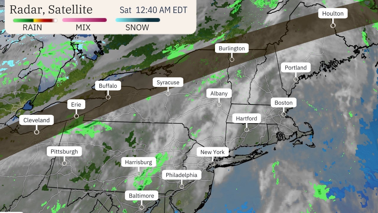
Snow is already falling in parts of southwest Texas, but the bulk of this storm's impact will be New Year's Eve and Day.
Thursday (New Year's Eve)
During the daytime on New Year's Eve, snow or a wintry mix is expected in portions of western Texas, possibly including Midland and San Angelo.
The northern fringe of this storm's precipitation could also produce some wintry weather from parts of Oklahoma into the Ozarks and Ohio Valley
 Thursday's Forecast
The wintry mess of snow and ice will expand significantly by Thursday night.
Sleet and freezing rain could spread northward from the mid-Mississippi and Ohio valleys toward the southern Great Lakes.
Snow and a wintry mix will also spread northward in the Plains from western Texas into western and central Oklahoma, central and eastern Kansas and northern Missouri.
 Thursday Night's Forecast
Friday (New Year's Day)
New Year's Day should have an expansive area of wintry weather stretching from the Central Plains to the Great Lakes and interior Northeast.
Snowfall might affect areas from eastern Kansas and northern Missouri into parts of Iowa, Wisconsin and northern lower Michigan.
Freezing rain and sleet could impact travel from the southern Great Lakes to the interior Northeast. Some of these areas could eventually change to rain.
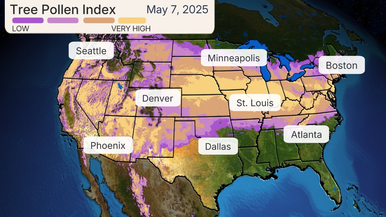 Friday's Forecast
This storm should wind down on Saturday, but snowfall and a little bit of freezing rain or sleet might linger in northern New England.
How Much Snow and Ice?
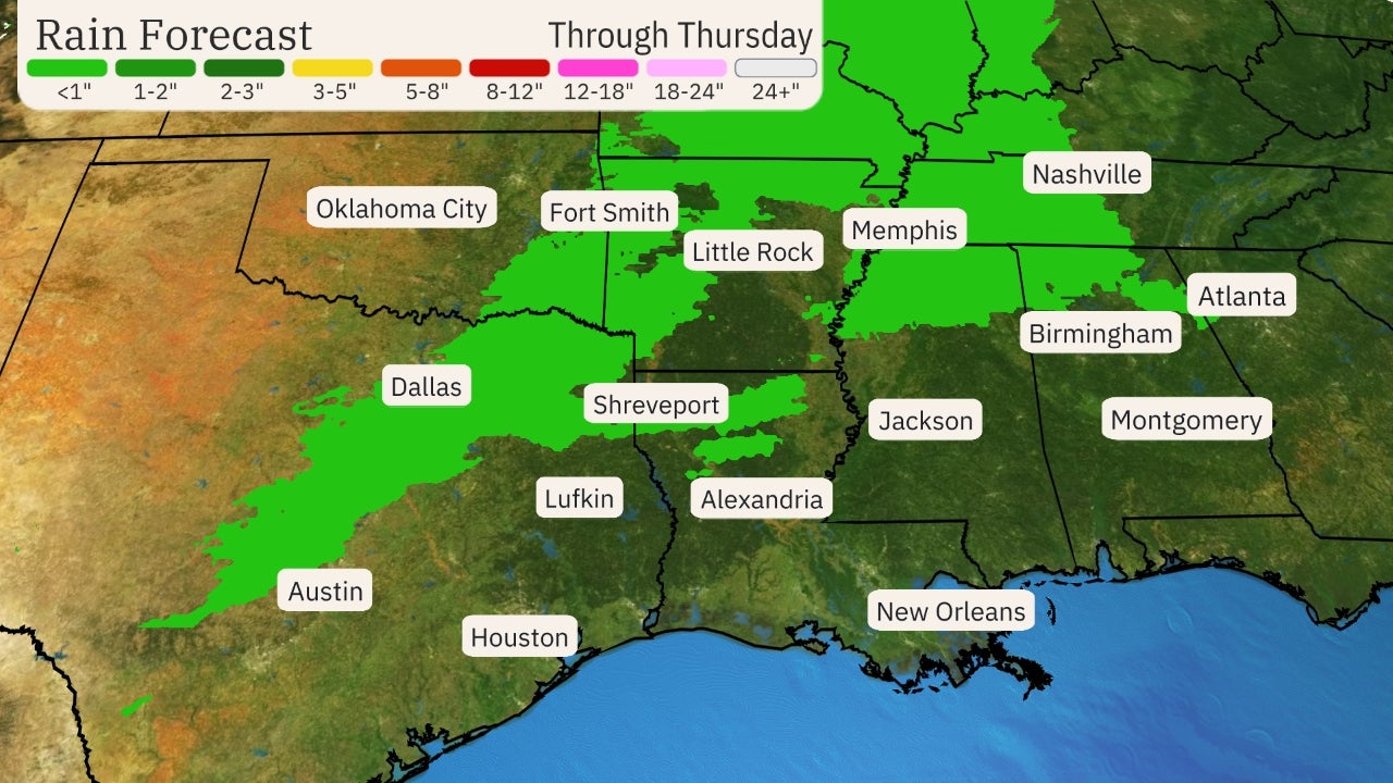
Snowfall accumulations from this system will be most likely in a narrow strip from southwest Texas into parts of the Central Plains, upper Midwest, Great Lakes and northern New England as depicted in the map below. This could include San Angelo, Texas, Wichita, Kansas, Kansas City and Milwaukee.
For the most part, these accumulations should be light to moderate, however, some locally heavy accumulations over 6 inches are possible in a few locations.
 Snowfall Forecast
Freezing rain from this storm could accumulate on tree branches, power lines and other surfaces from parts of the Central and Southern Plains and Midwest to the interior Northeast through New Year's Day. Some locations will eventually see that precipitation change to rain or drizzle.
Ice accumulations could at least slicken untreated roads for a time from eastern Kansas and Missouri into portions of the southern Great Lakes and the interior Northeast from western Maryland and Pennsylvania to western New England.
There could be some pockets with greater ice accumulations capable of triggering power outages and possibly leading to some tree damage. The highest chance of these heavier accumulations are from eastern Kansas into northern Missouri.

The Weather Company’s primary journalistic mission is to report on breaking weather news, the environment and the importance of science to our lives. This story does not necessarily represent the position of our parent company, IBM.
The Weather Company’s primary journalistic mission is to report on breaking weather news, the environment and the importance of science to our lives. This story does not necessarily represent the position of our parent company, IBM.


No comments:
Post a Comment