weather.com meteorologists
Zeta is moving back into the Gulf of Mexico and is headed for a Wednesday landfall on the northern U.S. Gulf Coast, where it's likely to bring heavy rainfall, strong winds and storm surge.
Hurricane and storm surge warnings are now posted for the northern Gulf Coast ahead of Zeta.
Zeta is the Atlantic's 11th hurricane of the season.
Current Status
Zeta has weakened to a tropical storm after land interaction with Mexico's Yucatan Peninsula. However, Zeta is forecast to regain hurricane strength later today.
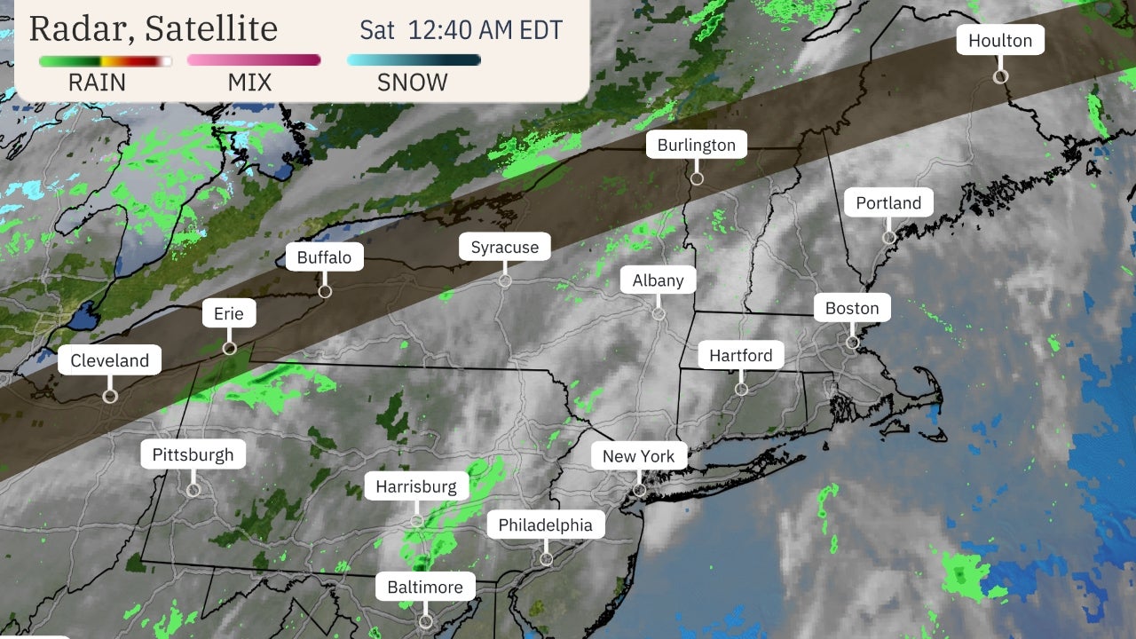 Current Satellite
A hurricane warning extends from Morgan City, Louisiana, to the Mississippi/Alabama border, including Lake Pontchartrain, Lake Maurepas and metropolitan New Orleans. Hurricane conditions (winds 74 mph or greater) are expected to arrive in parts of the hurricane warning area later Wednesday.
The storm surge warning includes areas from Intracoastal City, Louisiana, to Navarre, Florida, including Lake Borgne, Lake Pontchartrain, Vermilion Bay, Pensacola Bay and Mobile Bay. This means a life-threatening water rise from storm surge is possible in this area, generally within 48 hours.
A tropical storm warning is also in effect from the Mississippi/Alabama border to Okaloosa/Walton County line in Florida.
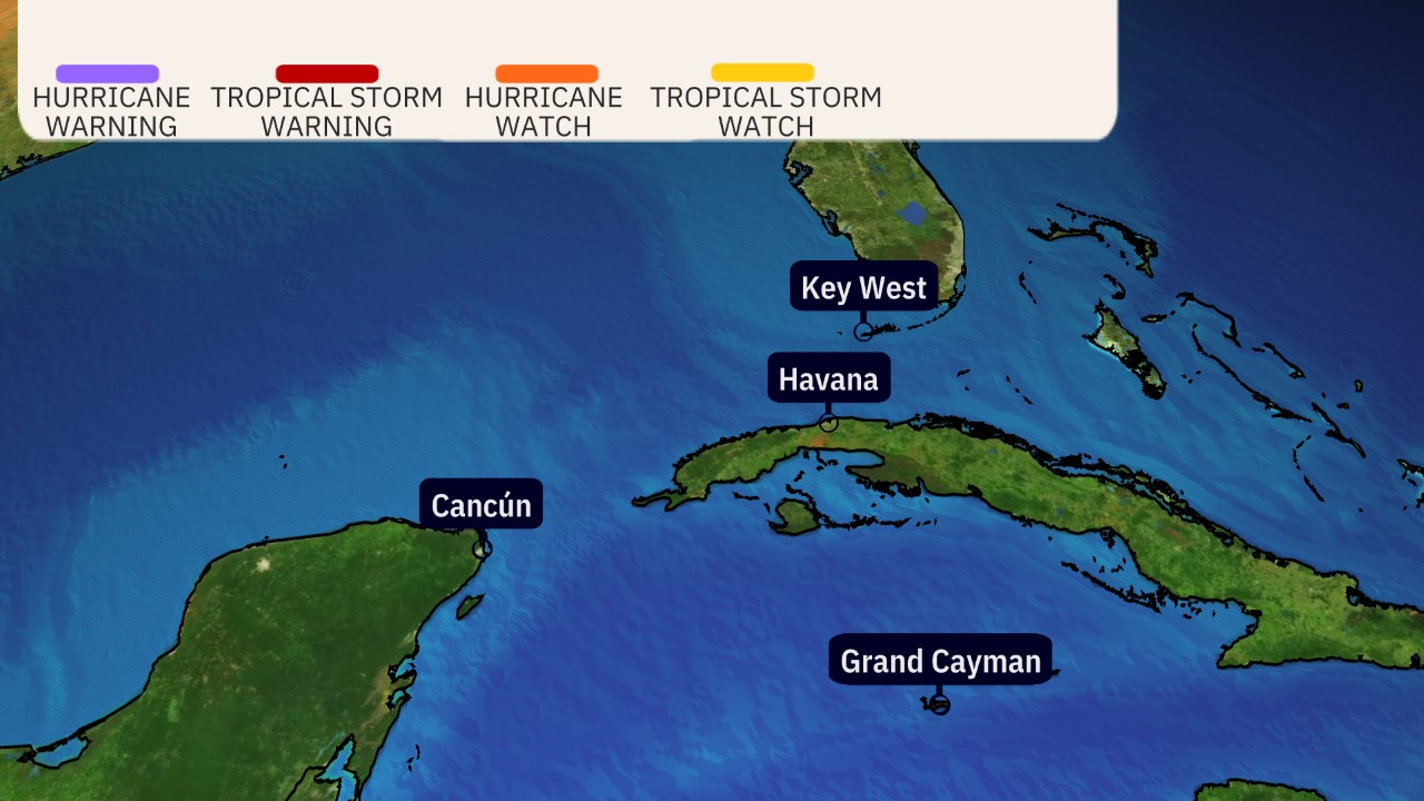 Watches and Warnings
Forecast Track, Intensity
Zeta is forecast to restrengthen some as it tracks over the Gulf of Mexico into Wednesday morning.
Increasing wind shear and cooler waters should cause Zeta to level off in intensity as it approaches the northern U.S. Gulf Coast later on Wednesday. Zeta could be near or at hurricane strength when it makes landfall late Wednesday, somewhere from southeast Louisiana to the border between Alabama and Florida, according to the latest National Hurricane Center (NHC) forecast.
It's important to note that impacts from rainfall, wind and storm surge along the northern Gulf Coast will largely be the same no matter whether Zeta is a strong tropical storm or a low-end hurricane when it nears landfall.
 Current Information and Forecast
Forecast Impacts
Rainfall
There will be a broad area of soaking rainfall across the southern and eastern U.S. during the second half of the week ahead. That's because Zeta's moisture will be pulled northward by a separate weather system tracking eastward across the country, as depicted in the map below.
 Forecast Setup
That means some locations from the South into parts of the Ohio Valley and mid-Atlantic could see 1 to 3 inches of rainfall from this setup. Heavier totals are likely in some areas, and that might trigger flash flooding in spots.
Rainfall could be heaviest near where the center of Zeta tracks inland through the southern and eastern United States through Thursday. Areas from eastern Louisiana to southern Mississippi, Alabama, northern Georgia, the southern Appalachians and mid-Atlantic could see rainfall totals of 2 to 4 inches (locally up to 6 inches), according to the NHC
 Rainfall Forecast
Wind
Tropical-storm-force winds (39 mph or greater) will most likely arrive on the northern Gulf Coast sometime on Wednesday afternoon. The white lines below show when it is too late to complete preparations.
 Tropical-Storm-Force Wind Probabilities
Hurricane-force winds are expected in a small area near where the center of Zeta crosses the coastline. Those hurricane-force winds could arrive by late Wednesday.
Strong wind gusts might continue to spread farther inland through parts of Alabama and northern Georgia into Thursday.
The strong winds across all these areas could down some trees or contribute to power outages.
Storm Surge
Storm surge flooding from Zeta could inundate parts of the northern Gulf near and east of where the center crosses the coast.
The highest storm surge right now is forecast from Port Fourchon, Louisiana, to Dauphin Island, Alabama, including Lake Borgne. That's where there could be 4 to 6 feet of inundation if peak surge arrives at the time of high tide.
The latest storm surge forecast is depicted below, however, changes are possible depending on the exact track and strength of Zeta.
 Storm Surge Forecast
Tornadoes
A few tornadoes are possible Wednesday and Wednesday night from southeast Louisiana into southern Mississippi, southern Alabama and the western Florida Panhandle.
Check back to weather.com in the days ahead for additional forecast information.
The Weather Company’s primary journalistic mission is to report on breaking weather news, the environment and the importance of science to our lives. This story does not necessarily represent the position of our parent company, IBM.
The Weather Company’s primary journalistic mission is to report on breaking weather news, the environment and the importance of science to our lives. This story does not necessarily represent the position of our parent company, IBM.


No comments:
Post a Comment