A tropical disturbance in the Gulf of Mexico will unleash heavy rainfall in Florida early this week, where it could trigger bouts of flooding.
There is a weak area of low pressure in the eastern Gulf of Mexico interacting with tropical moisture over Florida. That is resulting in numerous showers and thunderstorms over the Florida Peninsula.
Miami has picked up over 4 inches of rain from this setup since early Sunday.
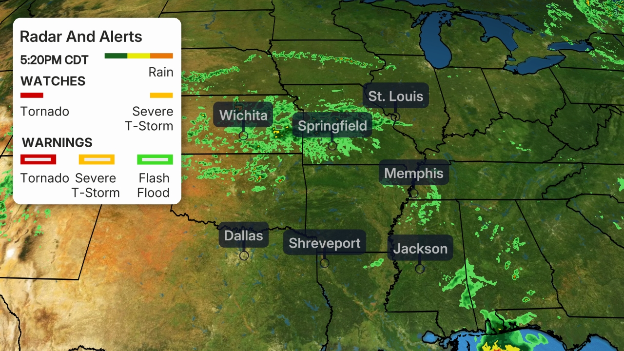
 Current Radar, Watches and Warnings
More than 3 inches of rain could drench parts of southeast Florida through Tuesday.
Flood watches have been issued by the National Weather Service for southern and eastern Florida, including Miami, Naples and Orlando.
The chance of flooding exists in urban and poor-drainage areas, small creeks, streams and canals, according to the NWS. Do not attempt to drive through any flooded roads you encounter.
A few isolated severe thunderstorms are also possible in South Florida through Monday.
 Rainfall Forecast
The rain will also continue to put a dent in the long-term dryness in southern Florida. Areas from the southern tip of the Florida Peninsula to around the Fort Myers and Naples areas were in moderate to severe drought as of May 19.
The Weather Company’s primary journalistic mission is to report on breaking weather news, the environment and the importance of science to our lives. This story does not necessarily represent the position of our parent company, IBM.
The Weather Company’s primary journalistic mission is to report on breaking weather news, the environment and the importance of science to our lives. This story does not necessarily represent the position of our parent company, IBM.

No comments:
Post a Comment