By Ashley Williams, AccuWeather staff writer
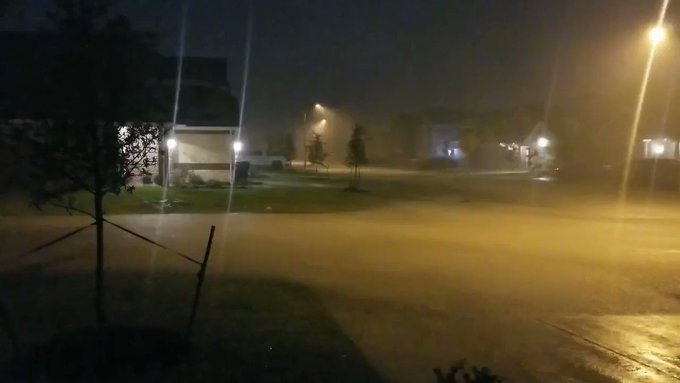
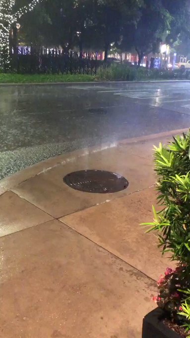
A severe weather event took shape across southeastern Texas on Thursday night with large hail, gusty winds and flooding downpours – this round of storms coming just on the heels of multiple days of severe thunderstorms and heavy rainfall across the region over the past couple of weeks.
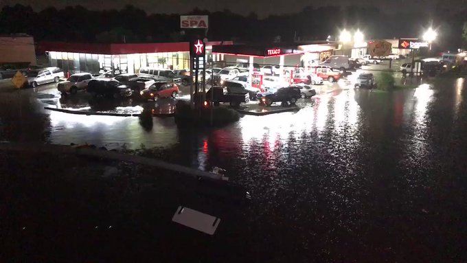
Houston was hit hard with drenching showers on Tuesday as between 3 to as much as 10 inches of rain fell in and around the city. "What started out as a round of severe thunderstorms with large hail and gusty winds shifted into a flooding rain event," AccuWeather Senior Meteorologist Matt Rinde said.
Baseball-sized hail and even larger sizes were reported across the region on Thursday evening. Residents flocked to social media to post multiple images of these large hail stones damaging homes and vehicles in the area. Some drivers in Houston even sought shelter under a local gas station's overhang to protect their cars from being pelted with hail. Houston Intercontinental Airport officials issued a ground stop through 1 a.m. CDT Friday as a result of the severe storms, causing all inbound flights to Houston to be held at their origins. All of the Houston Independent School District and offices were closed due to flooding on Friday.
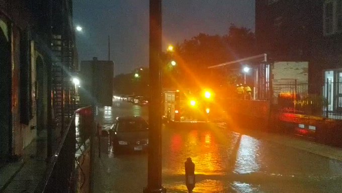
Emergency responders performed dozens of water rescues as cars became trapped under the increasingly rising floodwaters on area roadways, as reported by emergency management. More than 75 water-related calls were reported Thursday night, the Houston Fire Department said. In one dramatic rescue, Houston Fire Department emergency responders worked to save a trapped passenger stuck in an upside-down car almost completely submerged in a flooded ditch. It's not clear how long the car had been stuck before rescue attempts took place. The passenger was able to be safely removed from the vehicle.
"As the grounds are saturated, these are perfect conditions for flash floods, so we encourage people to just be cautious of what they're doing and encourage them to stay home," said Houston Fire Chief Samuel Peña in an interview on Twitter. "There's no sense in putting yourself, first responders, firefighters or anybody in danger needlessly," Peña said.
The arrival of thunderstorms occurred at an inconvenient time as many residents were trying to head home following the Houston Astros baseball game at Minute Maid Park. Rain reportedly still made its way inside the stadium, which has a retractable roof, but is not fully enclosed, according to the Houston Chronicle. Fans seated in the stadium's right field upper deck had to move due to the rain seeping into the stadium.
"Minute Maid Park is not a sealed building, it's not a permanent dome, it's a retractable stadium," Astros President of Business Operations Reid Ryan told the Chronicle."And, as such, there are all kinds of places where water gets into the building."
The line of heavy thunderstorms slowly progressed to the south and east toward the Texas coastline and southwestern Louisiana during Thursday night. Golfball-sized hail was still being reported in these storms through the evening. A few of these thunderstorms prompted tornado warnings from the local National Weather Service (NWS) office.
The Galveston/Scholes Field Airport received nearly 3 inches of rain in one hour Thursday night, with 2.14 inches of rain falling in a span of just 32 minutes. According to the Harris County Flood Warning System, widespread rain amounts of 3-6 inches fell across parts of the county Thursday night. Most airports in and around Houston received 2-4 inches of rain. Emergency management urged drivers to stay off the roads until the thunderstorms and heavy rainfall receded. Area roadways could still be closed or flooded through Friday.
Over 175,000 people were without power at some point across Texas on Thursday night, most of that occurring within the line of thunderstorms from San Antonio to Houston, according to PowerOutage.US.
RELATED:
Widespread flooding to threaten communities across south-central US this weekend
Tornadoes, damaging wind and deadly floods leave trail of destruction across south-central US
Showers, gusty thunderstorms to sweep across northeastern US into Friday night
AccuWeather Severe Weather Center
Widespread flooding to threaten communities across south-central US this weekend
Tornadoes, damaging wind and deadly floods leave trail of destruction across south-central US
Showers, gusty thunderstorms to sweep across northeastern US into Friday night
AccuWeather Severe Weather Center
As of Friday night, flooding continues in the Houston area and will likely continue this weekend. Flood watches and warnings issued by the NWS on Thursday continue in numerous locations.
Many cars that stalled out in floodwaters and were left along the side of the road were towed on Friday as the floodwaters receded in some locations.
Over 138,000 customers throughout Texas were without power on Friday morning, according to PowerOutage.us. Power crews worked to restore power on Friday, and less than 50,000 customers remained without power by Friday night.
Flight cancellations and delays continue into Saturday morning at Houston airports, as more than 100 flights were canceled or delayed at local airports. Houston Bush International Airport said that the roads into and out of the airport are now passable.
The University of Houston announced that it is closed into Saturday and that all commencement ceremonies are postponed until further notice. The Houston Community College is also closed into the weekend.
Local officials urged motorists to continue to check roadway conditions prior to leaving their home.
Additional rain and thunderstorms are expected through the weekend. "Rounds of thunderstorms will continue to be fed by moisture from the Gulf of Mexico, which will produce drenching, flooding rainfall through this weekend," Rinde said. This will only exacerbate the flooding situation, as some rivers, creeks and streams are already approaching flood levels or are about to overflow their banks.






 Lizzy Hedgehog





No comments:
Post a Comment