weather.com meteorologists
Hurricane Lee will eventually grow in size and its northward turn will eventually take it on a track that brings rain, wind and coastal flooding impacts to Bermuda, Atlantic Canada and parts of eastern New England, through the exact details in the forecast remain uncertain.
The hurricane will send dangerous high surf and rip currents to the U.S. East Coast regardless of where it tracks over the next several days.
(MORE: Lee Interactive Tracker)
Here's the latest status on Lee: Hurricane Lee is centered more than 500 miles south of Bermuda, and is moving northwestward.
Wind shear caused Lee to weaken significantly on Saturday from its maximum strength as a Category 5 late last week. Lee restrengthened back into a major Category 3 hurricane late Sunday and remains at that intensity Monday.
Lee's wind field has also grown larger with hurricane-force winds extending up to 75 miles from the its center, which is an increase from 45 miles from Sunday.
 Enhanced Satellite
Here's where Lee will go the next five days: The hurricane will eventually make a northward turn during the middle part of the week. It will then continue tracking in that northerly direction into the weekend.
Lee's intensity could fluctuate through mid-week. It should then weaken again by later this week when it turns northward since it will encounter somewhat cooler water temperatures, partly induced by upwelling from Hurricane Franklin and the remnants of Idalia, along with dry air and higher wind shear.
Even though the hurricane will weaken, its wind field is forecast to expand, which means impacts will be felt in a larger area.
(MORE: 12 Things You May Not Know About Hurricane Forecasts)
 Current Status And Forecast Path
Lee's exact northward path will determine impacts in Bermuda, Atlantic Canada and New England: Lee is being steered northwestward by high pressure to its north right now. By midweek, a northward turn will be induced by a dip in the jet stream sweeping into the eastern U.S.
Exactly where this turn occurs and how the hurricane interacts with the jet stream dip are uncertain factors, which leads to a larger spread in computer model guidance during the latter half of the week.
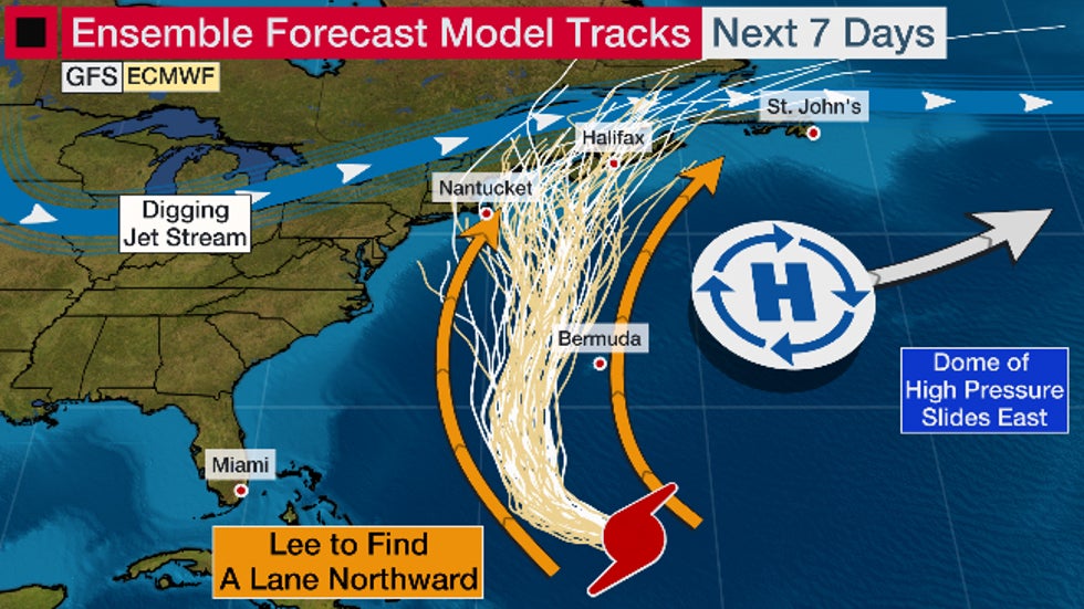 Model tracks are shown by the white and yellow lines.
The storm will also continue grow in size which means impacts could extend far from where its center tracks.
Bermuda could see rainfall, gusty winds and high surf from Lee by late this week.
There is also the increasing likelihood of rain, wind and coastal flooding impacts in eastern New England and Atlantic Canada this weekend. It's too soon to know what level of impacts there might be in these areas.
Interests in all of the above mentioned locations should continue to monitor Lee's forecast closely.
As with most hurricanes, this forecast is subject to change. Check back with us at weather.com for the latest on this, and the 2023 hurricane season.
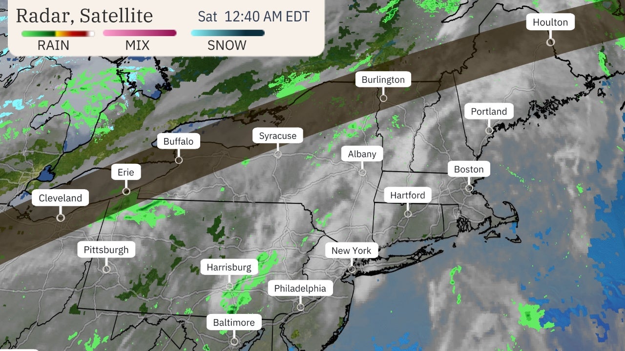
Dangerous surf, rip currents will occur: One certainty with Lee's track, regardless of exactly where it goes, is that it will generate dangerous high surf, rip currents, coastal flooding and even beach erosion along the Eastern Seaboard this week. That's particularly the case from the Southeast U.S. to New England.
Given the storm's initial slow movement and increasing size, coastal flooding will likely occur over multiple days and high tide cycles.
Keep this in mind if you have plans if you live near or plan to head to the Atlantic beaches this week. Stay out of the water, especially if red flags are flying at the beach.
Lee's History So Far
Lee became the 13th storm of the 2023 Atlantic hurricane season Tuesday afternoon and the fourth hurricane of the season late Wednesday afternoon. That was over a week ahead of the average fourth hurricane pace of Sept. 16, according to National Hurricane Center data.

Lee then underwent explosive rapid intensification, going from a Category 1 to Category 5 hurricane in just 18 hours Thursday. Only three other Atlantic hurricanes since 1982 had seen their winds increase by 80 mph in 24 hours or less since 1982, most recently Matthew in 2016. It was the fastest 24-hour intensification anywhere in the Atlantic Basin outside the Gulf of Mexico and Caribbean Sea in 41 years, according to Kieran Bhatia, a Princeton scientist.
Sustained winds of 160 mph were recorded by hurricane reconnaissance Thursday evening, making it the first Category 5 hurricane since Ian in 2022. Prior to Lee, only 39 other Atlantic hurricanes have reached Category 5 intensity over the past 100 years.
The Weather Company’s primary journalistic mission is to report on breaking weather news, the environment and the importance of science to our lives. This story does not necessarily represent the position of our parent company, IBM.
The Weather Company’s primary journalistic mission is to report on breaking weather news, the environment and the importance of science to our lives. This story does not necessarily represent the position of our parent company, IBM.


No comments:
Post a Comment