weather.com meteorologists
Two disturbances in the Atlantic are being watched for possible tropical development in the week ahead, including one that will likely become a tropical depression that brings at least some rain and wind impacts to parts of the Caribbean Islands.
Here's a breakdown of what we know about each of these systems.
System #1: Invest 94L
Invest 94L is a low-pressure system over the western tropical Atlantic located over 100 miles east of the Lesser Antilles, or the far eastern islands of the Caribbean. The "Invest" naming convention is used by the National Hurricane Center (NHC) to identify areas that are being monitored for the possible formation of a tropical depression or storm.
Showers and thunderstorms in this disturbance have recently become somewhat better organized. If this increased organization persists, then a tropical depression could form as soon as later Monday or Monday night since environmental conditions are generally favorable, according to the National Hurricane Center (NHC).
 Potential NHC Development
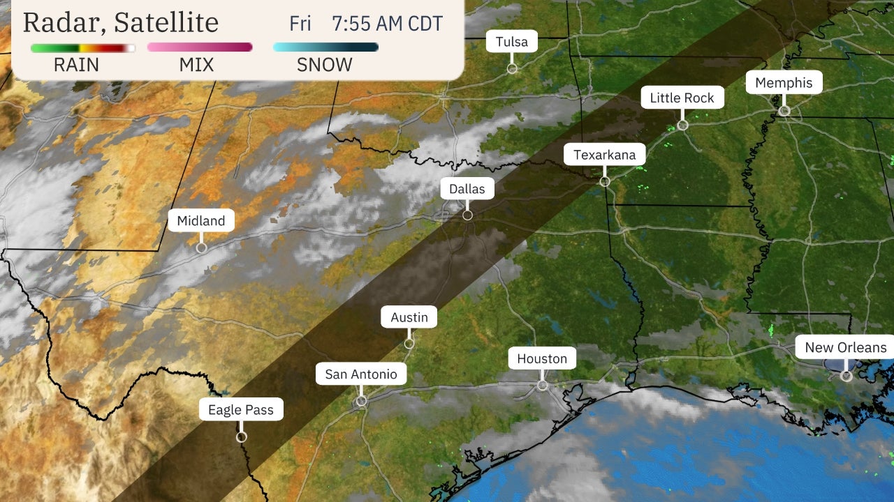
Regardless of development, parts of the Lesser Antilles will likely experience gusty winds, showers and thunderstorms by Monday night. Locally heavy rain and gusty winds will then move across Puerto Rico and the Virgin Islands beginning Tuesday. Localized flash flooding could occur in all of these areas.
The NHC notes that tropical storm watches and/or warnings could be required on short notice for Puerto Rico, the Virgin Islands and parts of the Lesser Antilles.
Dry air, land interaction and possibly increased wind shear could all be factors that limit this system's ability to intensify later this week as tracks in the general direction of Hispaniola, Cuba and the southern Bahamas.
By late week or early next weekend, this system might at least bring a surge of moisture that enhances rainfall in Florida. It's too early to determine what, if any, other impacts there might be.
For now, this system is nothing to get overly concerned about, but interests from the Caribbean to the Bahamas and South Florida should monitor its progress over the coming days.
System #2: Invest 93L
A bit farther east, Invest 93L is a low-pressure system that is drifting westward in the central tropical Atlantic.
Environmental conditions have become less favorable for this system to form into a tropical depresssion, but it's still being monitored for a low chance of development.
This system is no threat to any land areas over the next five days or so.
Tropical activity typically increases during August as we get closer to the peak of hurricane season so it is no surprise that there are multiple areas to watch for tropical development.
(MORE: Atlantic Hurricane Season Outlook Update)
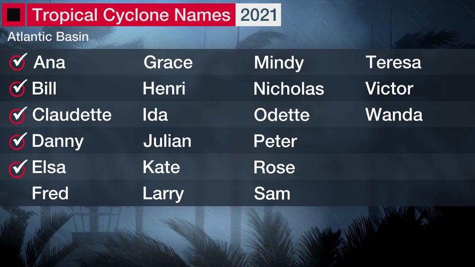
The next tropical storm in the Atlantic will be named Fred.
The Weather Company’s primary journalistic mission is to report on breaking weather news, the environment and the importance of science to our lives. This story does not necessarily represent the position of our parent company, IBM.
The Weather Company’s primary journalistic mission is to report on breaking weather news, the environment and the importance of science to our lives. This story does not necessarily represent the position of our parent company, IBM.


No comments:
Post a Comment