Linda Lam
A shift in the weather pattern in the week ahead will bring an increase in moisture to some areas along with temperature changes.
Rounds of rain may lead to flooding and severe thunderstorms in parts of the Plains. Much of the Northeast will see a major warmup. The West will be cooler with showers. Snow in higher elevation is likely in parts of the Northwest and northern Rockies.
Here's a closer look:
Wet, Stormy Pattern Expected in Central U.S.
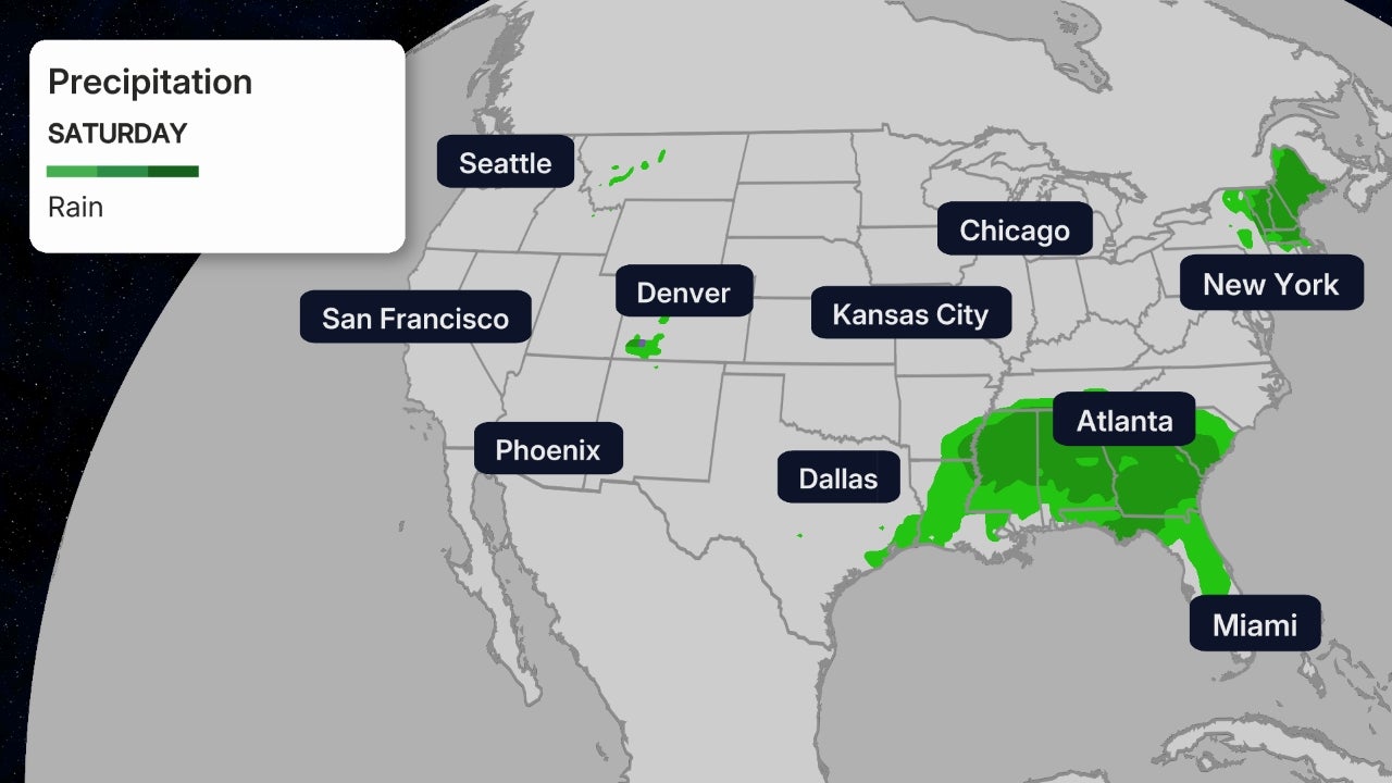
An upper-level low will move slowly through the West this weekend as the week begins. Disturbances ahead of this low ––combined with a southerly flow that will increase moisture in the Plains –– will lead to several days of rain and thunderstorms in portions of the Plains, Midwest and South.
(MORE: Wet, Stormy Pattern Ahead)

Flood risks will increase as rounds of rain fall on increasingly saturated ground. The heaviest rainfall is expected from Texas into Oklahoma, Arkansas, Kansas and Missouri through the middle of the week.
A few severe thunderstorms are also possible, especially in parts of the High Plains into early week.
The chance for rain and storms will persist through much of the week. The cloudy and wet pattern will keep high temperatures cooler, with most areas near or below average, though humidity will increase.
 Five Day Forecast
Northeast Warmup
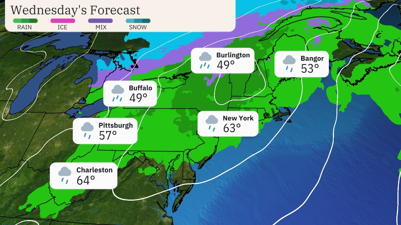
The Northeast will see a major warmup in the week ahead and mostly dry conditions.
Shop Women's BestSellers at LuLuLemon (SPONSORED)
The week will begin with widespread highs in the 70s across the region.
A building ridge of high pressure aloft will send those temperatures even higher by the end of the week. Highs could be 10 to 20 degrees above average during the second half of the week ahead.
That means many locations will see the 80s at times this week. Some areas could flirt with the low 90s by Friday or next Saturday, especially in the mid-Atlantic.
(MAPS: 7-Day Forecast)
 Early Week Forecast
Cooler Trend Ahead in the West
The Northwest into the northern Rockies will see warmer than average temperatures at the beginning of the week.
Then a cold front approaches. This cold front will slide southeastward into the West through the week ahead.
Cooler than average conditions are expected behind this system, with highs up to 15 degrees below average. This will result in some notable temperature tumbles. In Boise, Idaho and Salt Lake City, highs will drop more than 20 degrees from Tuesday to Thursday.
Light to moderate precipitation will accompany this system. Rain will spread from the Northwest into the northern Rockies through next week. Snow is expected in higher elevations.
 Forecast Highs
The Weather Company’s primary journalistic mission is to report on breaking weather news, the environment and the importance of science to our lives. This story does not necessarily represent the position of our parent company, IBM.
The Weather Company’s primary journalistic mission is to report on breaking weather news, the environment and the importance of science to our lives. This story does not necessarily represent the position of our parent company, IBM.

No comments:
Post a Comment