weather.com meteorologists
A slow-moving weather pattern will bring a multi-day soaking to parts of the central U.S. this week, contributing to a flood threat and also a risk of scattered severe storms.
An upper-level low will slowly move across the West as disturbances track into the Plains through the first half of this week. That upper-level energy will tap into a southerly flow of moisture supplied by high pressure in the East, giving rise to the development of several rounds of rain and thunderstorms
Upgrade Your Home Office With These Budget-Friendly Items (SPONSORED)
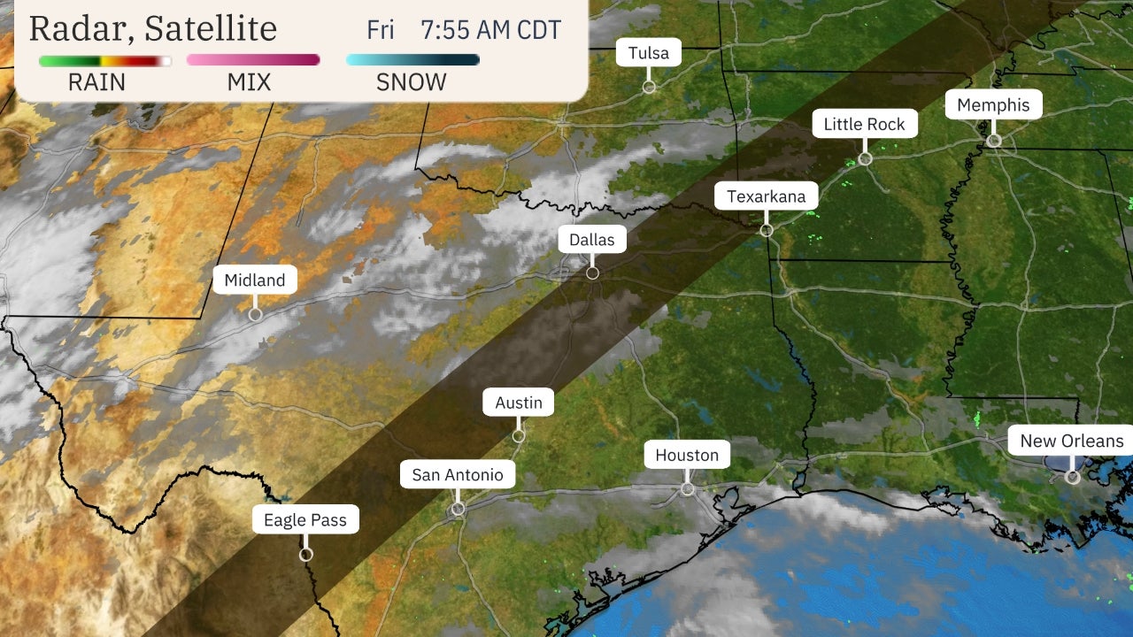
 Radar, Watches and Warnings
Flooding has already occurred because of this stormy pattern in the Plains.
The National Weather Service reported that 100 people had been displaced by flooding on the south side of Natoma, Kansas, following heavy rains Saturday night into early Sunday.
Additional rounds of heavy rain are on the way, and that is likely to trigger more flooding in the central U.S. this week. Severe storms are also possible at times.
Here's a closer look at the forecast.
Flood Threat
A widespread area from roughly Missouri and Kansas into Oklahoma, north and central Texas and western parts of Louisiana and Arkansas are likely to see the biggest soaking from this weather pattern.
Rainfall totals in the week ahead could top 5 inches in some areas, especially from central and north Texas into parts of Oklahoma.
 Rainfall Forecast
Flood watches have been issued by the National Weather Service, from central Oklahoma southward into north, central and southeast parts of Texas. This includes Dallas-Fort Worth and Oklahoma City.
These areas, along with other parts of the south-central U.S., could experience flash flooding this week. Some rivers and streams could also flood.
Do not attempt to drive through a flooded road if you encounter one. The single worst decision you can make in a flash flood is driving your vehicle into floodwaters of unknown depth.
 Flood Alerts
Severe Storm Threat
This weather pattern could also fuel the development of scattered severe storms at times.
Areas from western Texas and western Oklahoma into southwest Kansas will have the greatest chance for severe thunderstorms on Monday. Large hail and damaging winds will be the primary concerns, but an isolated tornado cannot be ruled out.
A few severe storms are also possible farther eastward through the Central and Southern Plains.
 Monday-Monday Night Severe Thunderstorm Forecast
The risk of severe storms from Tuesday onward through the week ahead is uncertain.
Tuesday could have at least a few severe storms from much of north and central Texas into a part of southern Oklahoma. This will be in addition to the heavy rain threat that will be ongoing in these areas.
Check back to weather.com for updates.
The Weather Company’s primary journalistic mission is to report on breaking weather news, the environment and the importance of science to our lives. This story does not necessarily represent the position of our parent company, IBM.
The Weather Company’s primary journalistic mission is to report on breaking weather news, the environment and the importance of science to our lives. This story does not necessarily represent the position of our parent company, IBM.


No comments:
Post a Comment