weather.com meteorologists
A blast of cold air is shattering numerous temperature records for late April into the South and will be accompanied by more late-spring snow in the interior Northeast.
This latest Arctic blast has already plunged into the South and will soon spread its chilly air to the rest of the East.

Frost and freeze alerts have been issued by the National Weather Service not just for more northern locales, but also into the South.
If you're in a frost or freeze watch or warning, cover any sensitive plants with a blanket or bring them inside at night, if possible.

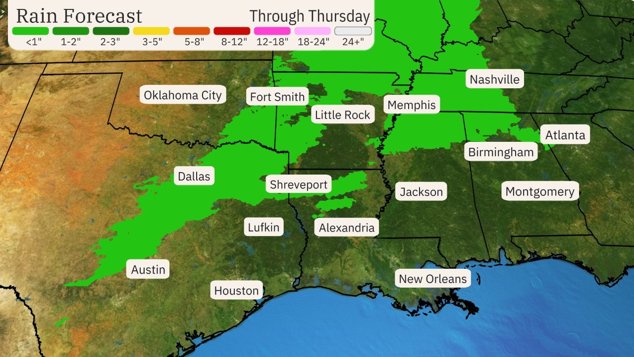
This blast of cold air will continue to threaten daily record lows in parts of the Plains, Midwest and South through late week.
Wednesday morning should have the most number of record lows from the Plains to the Mississippi Valley.
The following cities had already broken or tied daily record lows for April 21 as of 5 a.m. EDT Wednesday: Dallas-Fort Worth, Little Rock, St. Louis and Oklahoma City.
A few more locations in the Midwest and South could approach daily records lows on Thursday morning. Among them are Asheville, North Carolina (30 degrees), Memphis, Tennessee (39 degrees), Baton Rouge, Louisiana (42 degrees), and Fort Wayne, Indiana (27 degrees).

Another shot of cold air is expected to plunge into the northern High Plains Friday, but is expected to be replaced by warmer air punching in from the Rockies into the Plains this weekend.
(MAPS: 10-Day U.S. Forecast Highs/Lows)
Late Spring Snow
Accompanying this cold blast is a round of snow that in some areas has been one of the latest spring snowfalls on record.
While not the latest-in-season snow on record, accumulating snow in both Kansas City and Wichita, Kansas, Tuesday, was the heaviest to occur so late in spring, there.
Up to 1.5 inches of snow was reported in northwest Arkansas Tuesday. Only a May 3, 2013, event produced snow later in spring in Fayetteville, Arkansas, than what fell on Tuesday.
Paducah, Kentucky, and Evansville, Indiana, both picked up their latest accumulating snowfall on record late Tuesday, according to the National Weather Service.
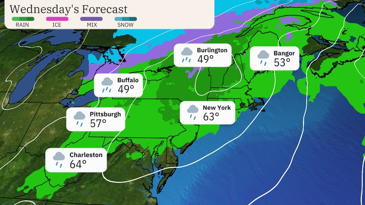
This thin stripe of snow will continue to spread through parts of the interior Northeast and Appalachians on Wednesday.
 Current Radar
This snow could even linger into early Thursday in parts of northern New England and upstate New York.
The Biggest Wayfair Sale of the Year - See All Deals (SPONSORED)
In most areas, snow accumulations will be light, on the order of an inch or two, and confined primarily to grassy areas.
Heavier totals of 6 inches or more are possible in western and northern New York, northern Vermont, northern New Hampshire and northern Maine, particularly over higher elevations.
Slushy, slippery travel is likely in these areas, particularly at night and in the morning and on secondary roads.
 Snow Forecast
The Weather Company’s primary journalistic mission is to report on breaking weather news, the environment and the importance of science to our lives. This story does not necessarily represent the position of our parent company, IBM.
The Weather Company’s primary journalistic mission is to report on breaking weather news, the environment and the importance of science to our lives. This story does not necessarily represent the position of our parent company, IBM.

No comments:
Post a Comment