weather.com meteorologists
A cold front racing toward the East Coast could trigger the development of scattered severe thunderstorms from the mid-Atlantic into the Southeast on Sunday.
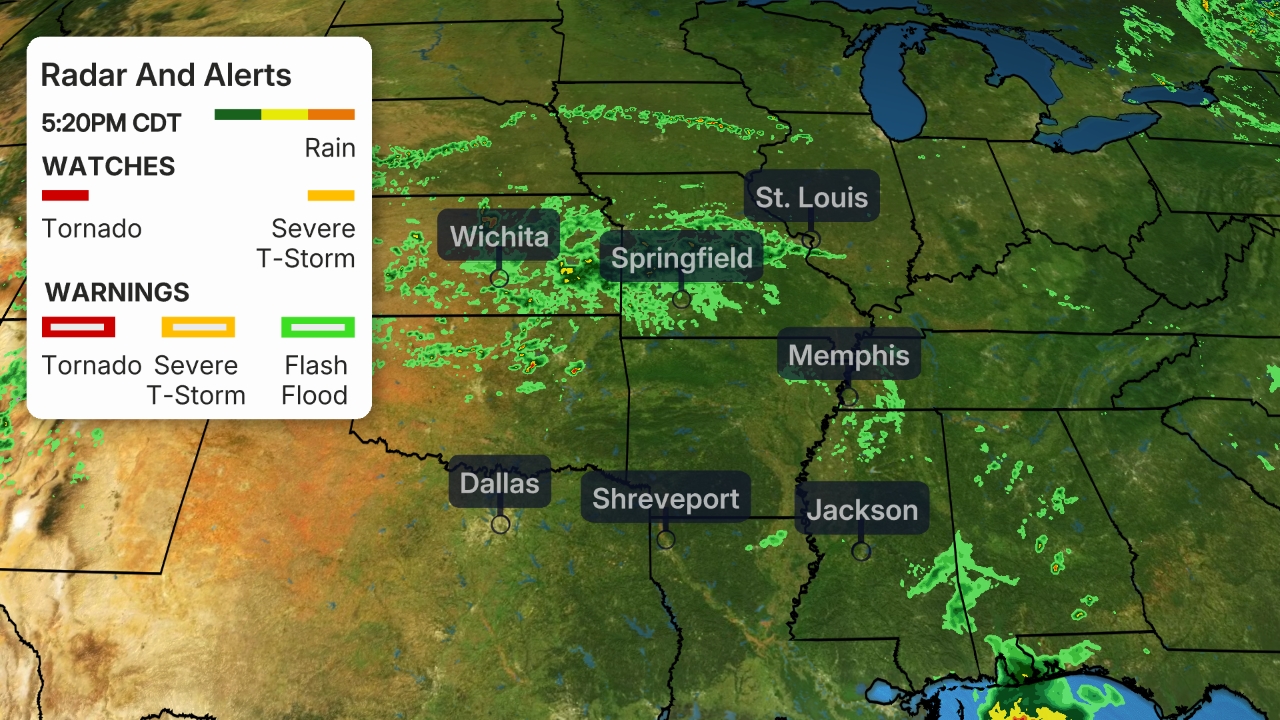
This storm system triggered major flooding in middle Tennessee overnight, and also spawned 15 reports of tornadoes from eastern Texas to the lower Mississippi Valley. See this link for more details on those impacts.

Parts of the mid-Atlantic and Southeast could see strong to severe storms through this afternoon, including from the Washington, D.C. and Baltimore metro areas southward to the Carolinas and north Georgia.
Damaging wind gusts will be the primary threat, but a few tornadoes and hail are also possible.
 Sunday's Severe Thunderstorm Forecast
The Weather Company’s primary journalistic mission is to report on breaking weather news, the environment and the importance of science to our lives. This story does not necessarily represent the position of our parent company, IBM.
The Weather Company’s primary journalistic mission is to report on breaking weather news, the environment and the importance of science to our lives. This story does not necessarily represent the position of our parent company, IBM.

No comments:
Post a Comment