Chris Dolce
Low pressure along a sweeping cold front will bring snow to the interior Northeast on April Fools' Day, followed by a brief blast of near record-low temperatures in parts of the East.
Rain is expected to mix with or change to snow Wednesday night into early Thursday from northern Vermont and western and central New York to possibly as far south as the central and southern Appalachians.
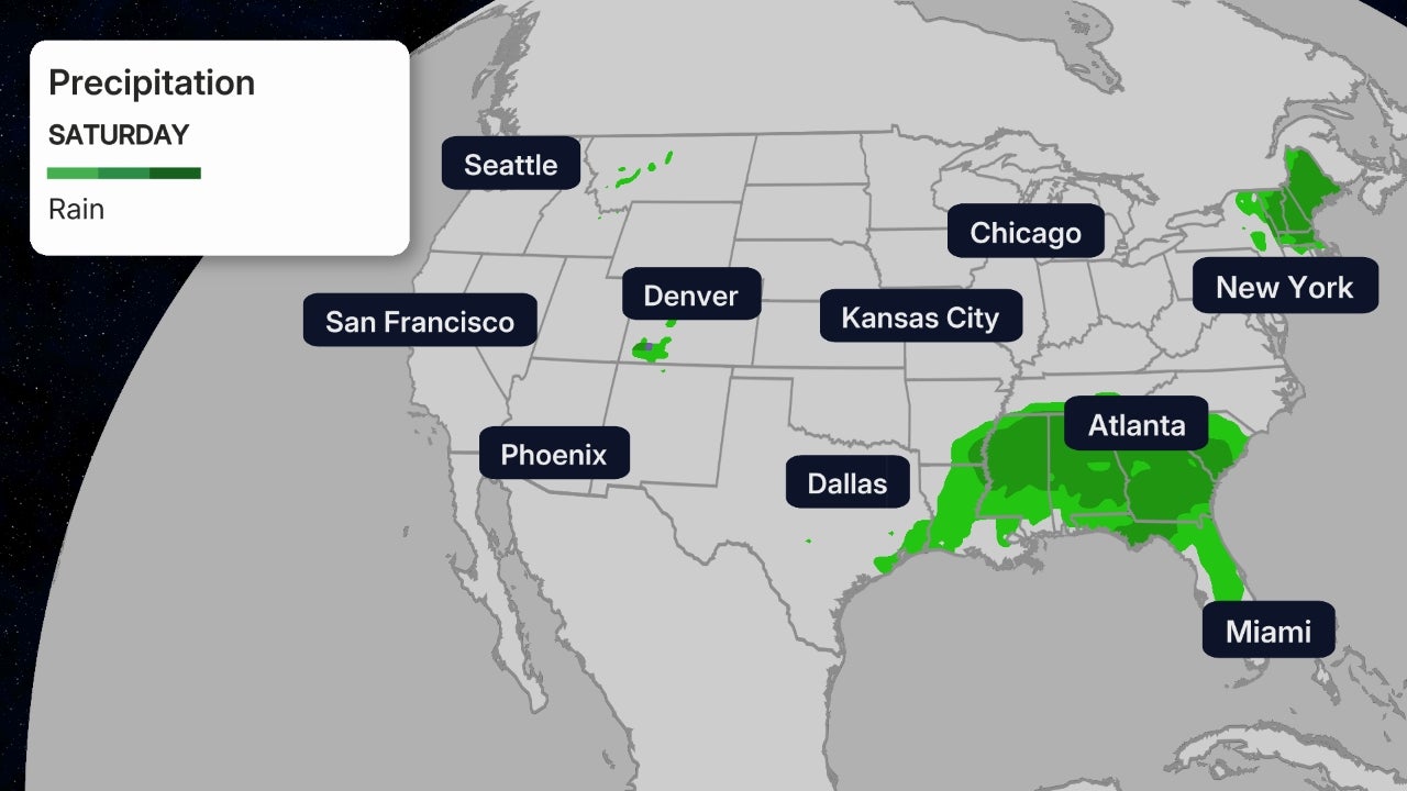
Areas near the Eastern Seaboard will see soaking rain, from much of Maine to the mid-Atlantic and Southeast.
 Current Radar
The low will continue to produce snow and gusty winds from northern New England into the central Appalachians on April Fools' Day. Snow might linger into Thursday night in far northern New England.
Activewear on Sale Now at Nordstrom Rack (SPONSORED)
Rain will exit during the daytime in coastal areas of the Northeast, followed by blustery conditions.
 Thursday's Forecast
The best chance for up to 6 inches of snow will be from central New York into the Adirondack Mountains and northern Vermont. Scattered power outages are possible in these areas given the heavy, wet nature of the snow.
Lighter accumulations of snow could also coat other areas farther to the south from western New York and northern Pennsylvania to the central Appalachians in West Virginia.
Burlington, Vermont, and Syracuse, New York, are among the cities that could see wet snow accumulations.
April snow is not uncommon in these cities. Both of those locations average a few inches of snow in the month, according to the 30-year average (1981-2010) from NOAA.
Snowfall is more than four feet below average this season in Syracuse, but this late-season system will barely make a dent in that deficit.
 Snow and Rain Forecast
Temperatures Could Approach Daily Record Lows
April will also start rudely for a much broader area of the East as a plunge of colder air moves in behind the snowmaker.
Low temperatures will be 10 to 20 degrees below average from the Ohio Valley and mid-Atlantic into the Southeast by Friday morning. Some locations could approach daily record lows for April 2.
All Things Outdoor on Sale Now at Wayfair (SPONSORED)
Binghamton, New York, Asheville and Wilmington, North Carolina; and Columbia, South Carolina, are a few of the cities that could come within a few degrees of daily record lows on Friday morning.
But this chilly blast won't stick around for long. After a cold Saturday morning, temperatures will be on a gradual warming trend in the East through the weekend.
 Friday AM Forecast Lows
The Weather Company’s primary journalistic mission is to report on breaking weather news, the environment and the importance of science to our lives. This story does not necessarily represent the position of our parent company, IBM.
The Weather Company’s primary journalistic mission is to report on breaking weather news, the environment and the importance of science to our lives. This story does not necessarily represent the position of our parent company, IBM.

No comments:
Post a Comment