Linda Lam
A shift in the weather pattern will bring welcome temperature changes, but a couple of low pressure systems will bring snow and rain from the Northwest to the Rockies, Midwest, South and East.
Changes in the upper-level pattern are allowing the record-breaking cold to lose its grip on the central United States. However, it is still winter and an active weather pattern means several areas will see the chance for snow and rain over the week ahead.
Below we take a look at four things we are watching in the weather for the next several days.
Early Week System
A low pressure system will move into the Midwest on Sunday, spreading snow and rain to the south. This system will push into the Northeast late Sunday into Monday.
Snow is expected in the interior Northeast, with rain closer to the coast. Most areas from southern Minnesota, Iowa and northern Missouri through the Great Lakes region into interior New England can generally expect 1 to 3 inches of snowfall. Some pockets of moderate to heavy snow are possible, especially east of Lake Ontario.
Breezy conditions may accompany this system as well.
(MORE: Next Winter System Will Bring Snow to Parts of Midwest, Northeast)
 Snow and Rain Forecast
Temperature Changes
The record cold temperatures have come to an end across the central and southern U.S. and temperatures will continue to warm through early week, although low temperatures will remain chilly across much of the South over the next few days.
High temperatures will be near to slightly above average early week in the Southern Plains, while highs will be 10 to 20 degrees warmer than average in the Northern Plains. This translates to highs in the 50s and 60s in the Central and Southern Plains, with 30s and 40s farther north.
However, a cold front late this week will knock temperatures back down to near and below average in the Plains mid-to-late week. The good news is that it will not be nearly as cold as this recent arctic blast.
Milder conditions will also extend across the South and to the East Coast.
(MAPS: 10-Day Forecast)
 Forecast Highs
Active Pattern in Northwest, Rockies
A couple of disturbances will bring rain and mountain snow to the Pacific Northwest through early week.
The first system will have plenty of moisture, thanks to an atmospheric river. Locally heavy rainfall is expected in parts of western Washington and northwestern Oregon as a result of this increase in moisture.
Snow will pile up in the Washington Cascades and will spread eastward into the northern and central Rockies through early week.
Gusty winds are also anticipated, especially in portions of Montana and Wyoming Sunday into Monday.
 Rain and Snow Forecast
Late Week System
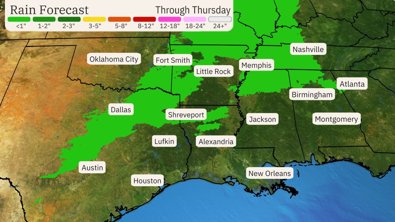
A cold front will push into the central U.S. midweek. This front will continue tracking into the East, bringing the chance for snow and rain showers.
A wave of low pressure in the Southern Plains late week may enhance precipitation across the South.
Rain is expected across most of the region. However, where moisture overlaps with colder air that filters in behind the cold front, snow or a mix of rain and snow are possible.
It is too early for details on this system so be sure to check back for updates in the days ahead.
 Late Week Setup
The Weather Company’s primary journalistic mission is to report on breaking weather news, the environment and the importance of science to our lives. This story does not necessarily represent the position of our parent company, IBM.
The Weather Company’s primary journalistic mission is to report on breaking weather news, the environment and the importance of science to our lives. This story does not necessarily represent the position of our parent company, IBM.

No comments:
Post a Comment