Jonathan Belles
The week ahead will feature bitterly cold temperatures across parts of the nation's northern tier as multiple rounds of snow and ice track through the Midwest and Northeast. Portions of California will see rain and mountain snow return.
Here's a quick look at what we are tracking.
1. The Coldest Air of the Season Will Stick Around in the Plains, Midwest
Frigid air has engulfed parts of the Plains and Midwest and it will stick around through much of this week.
Subzero low temperatures were recorded Sunday morning in Chicago, Minneapolis and Des Moines, Iowa. Lows in the single digits surged as far south as Missouri and Kansas.
SPONSORED: Epic winter clearance sale at Sierra Trading Post
This much colder weather pattern will remain locked in across the Plains and Midwest this week.
Subzero low temperatures will be common through Friday from Montana and the Dakotas into the upper Midwest.
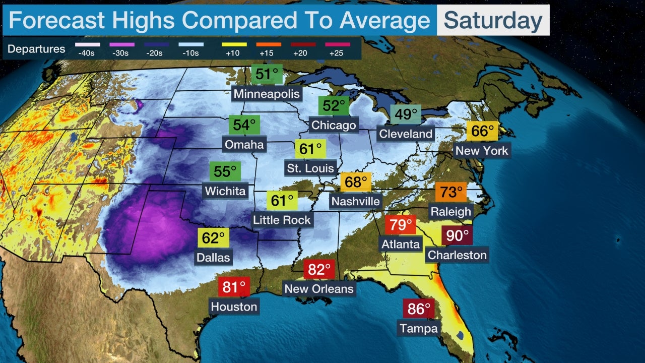
High and low temperatures will be 20 to 40 degrees colder than average in the Northern and Central Plains and upper Midwest throughout much of the week ahead. For full details, see the link below.
(MORE: Here's the Temperature Forecast)
 Forecast Morning Lows
2. Another Snowmaker Arrives Early Week in the Midwest, East
On the nose of the expanding round of cold air, a rain- and snowmaker will push eastward through the Midwest, Northeast and South in the first half of the week ahead.
This system will bring light snow to the Midwest on Monday and Monday night. Light snow will then spread into parts of the Northeast on Tuesday.
This system won't have a strong low pressure system associated with it, so despite the abundant cold air, snowfall rates are not expected to be high.
Warmer air near the coast could also cause some cities along the Interstate 95 corridor to see periods of rain or a rain and snow mix, which will limit how much snow is able to accumulate.
Rain is expected from the mid-Atlantic into parts of the South.
 Tuesday's Forecast
3. Second Round of Snow, Ice and Rain Into Late Week
More wintry weather could affect the Midwest and Northeast during the latter half of the week.
This will be triggered by upper-level disturbances moving from west to east across the central and eastern states from Wednesday through Friday.
Although uncertainty is high, there could be more snow and ice in the Midwest from this setup by Wednesday. Rain and thunderstorms will develop in the South.
By Thursday, snow and some ice might affect a broad area from the Midwest into the Northeast. Rain and thunderstorms could be widespread in parts of the South and mid-Atlantic.
Details on this wintry mess later in the week are still uncertain, so check back for updates.
 Thursday's Forecast
4. Rain and Mountain Snow Return to California
California will start the week with dry conditions dominating much of the state.
That could change by Thursday into Friday as the door opens up for a Pacific storm to bring much-needed rain and mountain snow to California and possibly other parts of the West.
This system could even bring wintry weather to lower elevations of the Pacific Northwest, potentially including Portland, Oregon.
Another weather system could affect California with more rain and mountain snow next weekend.
 Thursday Night's Forecast
The Weather Company’s primary journalistic mission is to report on breaking weather news, the environment and the importance of science to our lives. This story does not necessarily represent the position of our parent company, IBM.
The Weather Company’s primary journalistic mission is to report on breaking weather news, the environment and the importance of science to our lives. This story does not necessarily represent the position of our parent company, IBM.

No comments:
Post a Comment