weather.com meteorologists
Blizzard conditions may develop in parts of the Plains as a potent storm system spreads wind-driven snow and colder temperatures to the Plains and Midwest. This system blasted the Northwest and Rockies with damaging winds, flooding rain and mudslides earlier this week.
This system has been named Winter Storm Malcolm by The Weather Channel.
The National Weather Service has issued blizzard warnings from parts of eastern South Dakota and southwestern Minnesota into western Iowa, northwestern Missouri and northeastern Nebraska. This is where the combination of strong winds and snow may significantly reduce visibility, making travel difficult if not impossible at times.
A number of winter weather warnings and advisories have also been posted in the Upper Midwest, including Minneapolis-St. Paul.
SPONSORED: 25% off when you try BistroMD
 Winter Alerts
Snow will increase across parts of the Northern and Central Plains, as well as the upper Midwest, on Thursday. Rain will also change to snow in southern Minnesota and Iowa by Thursday night.
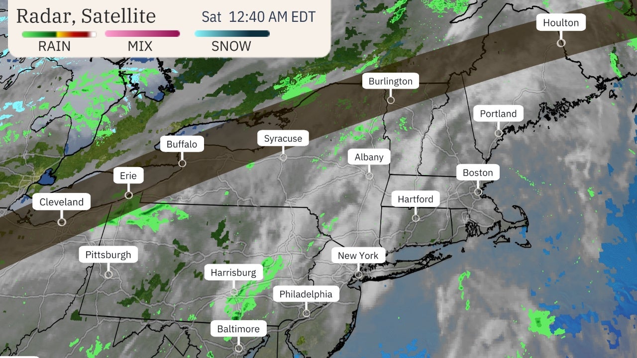
 Current Radar
Forecast Timing
Thursday
The front will charge into the upper Midwest into Thursday with snow or rain changing to snow spreading from the Northern Plains into the upper Mississippi Valley and western Great Lakes.
This changeover from rain to snow will advance eastward toward the rest of Lower Michigan, northern Indiana and western Ohio overnight.
 Thursday's Forecast
Strong northwesterly winds will also howl through the Plains from the Dakotas to parts of Oklahoma and Texas.
High wind warnings continue for a sizable part of the Plains into Thursday or Friday. These warnings mean high winds not associated with thunderstorms are expected or occurring, capable of at least damage to trees and power outages.
 Wind Alerts
A wind gust of 93 mph was measured near Williston, North Dakota, early Thursday. On Wednesday winds gusts over 100 mph were reported in some of the higher elevations of Montana, Wyoming and Utah. Wind reports from the Northwest can be found toward the bottom of this article.
Where gusty winds overlap with snowfall in open areas of the Northern Plains, there could be reduced visibility and poor travel conditions into Friday.
 Wind Forecast
Friday
A widespread area from the upper and mid-Mississippi valleys into the Great Lakes could see periods of snow during the day on Friday. Gusty winds will also continue in much of the Plains as well as parts of the Midwest.
Widespread, heavy snowfall totals are not expected. However, even light snowfall can impact travel, especially where stronger wind gusts combined with the snow produce lower visibility in open areas of the Plains. That could include the eastern Dakotas and western Minnesota into parts of Iowa.
By Friday night, rain changing to snow will push eastward into the interior Northeast and Appalachians, from western Maine southward into West Virginia. The Interstate 95 corridor from Boston to Washington D.C. will receive rain from this system.
 Friday's Forecast
Saturday
The weekend will begin with lingering snow showers and lake-effect snow in the Great Lakes and Ohio Valley.
Rain is expected along the immediate Northeast coast, with snow possible from upstate New York into northern Maine.
 Saturday's Forecast
How Much Snow?
Snowfall totals from this system won't be heavy in most areas.
Parts of Minnesota, Iowa, Wisconsin and northern Michigan, including the Minneapolis-St. Paul metro area, could see more moderate to locally heavy accumulations.
That will depend on where any bands of prolonged snowfall set up for a period of time into Friday.
Farther east, generally light snowfall totals are forecast from the Appalachians into northern New England, with the exception of heavier totals over the Adirondack, Green and White mountains.
 Snowfall Forecast
Pacific Northwest Impacts
Fueled by a deep moisture plume known as an atmospheric river, the storm roared ashore in the Pacific Northwest Tuesday and Tuesday night, with wind gusts up to 88 mph and flooding rain which lead to over 700,000 power outages and a number of landslides, including one which prompted the evacuation a town along the Columbia River Gorge east of Portland, Oregon.
(MORE: Windstorm Turns Deadly in the Northwest | Photos)
Wednesday, the storm kicked up high winds from Washington state to Colorado.
Gusts over 90 mph were clocked in parts of Montana. Great Falls, Havre and Helena, Montana, each set all-time January wind records, as did 10 locations in Alberta and Saskatchewan, Canada.
Power lines and trees were downed, some on homes, and semis were blown over. The winds were even strong enough to rip siding off a pole barn near White Sulphur Springs, Montana, according to the National Weather Service.
Over 1,700 reports of high winds and wind damage were compiled by the National Weather Service over a 36-hour period ending 6 a.m. CT Thursday, January 14.
The Weather Company’s primary journalistic mission is to report on breaking weather news, the environment and the importance of science to our lives. This story does not necessarily represent the position of our parent company, IBM.
The Weather Company’s primary journalistic mission is to report on breaking weather news, the environment and the importance of science to our lives. This story does not necessarily represent the position of our parent company, IBM.


No comments:
Post a Comment