Chris Dolce
The first full week of 2021 will have a cross-country weather system to track as the Northwest remains soaked. January's reputation for biting cold air will also be lacking.
Here's a quick look a what we are watching in the week ahead.
1.) Cross-Country System One to Watch For East Coast?
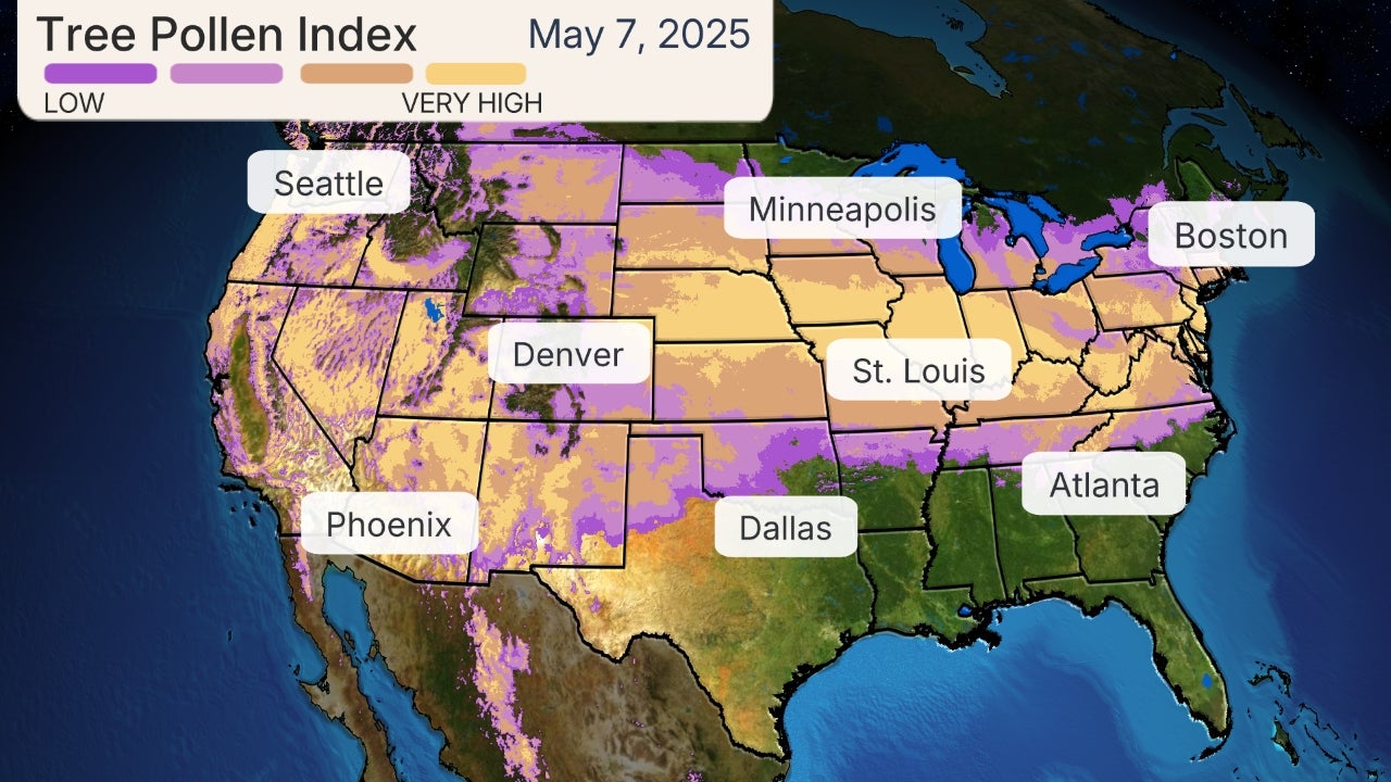
A storm system pushing into the Northwest on Monday will track across the country through late this week.
Light snow and rain from this system will reach the central U.S. by Wednesday, but this precipitation should only be a nuisance in most areas.
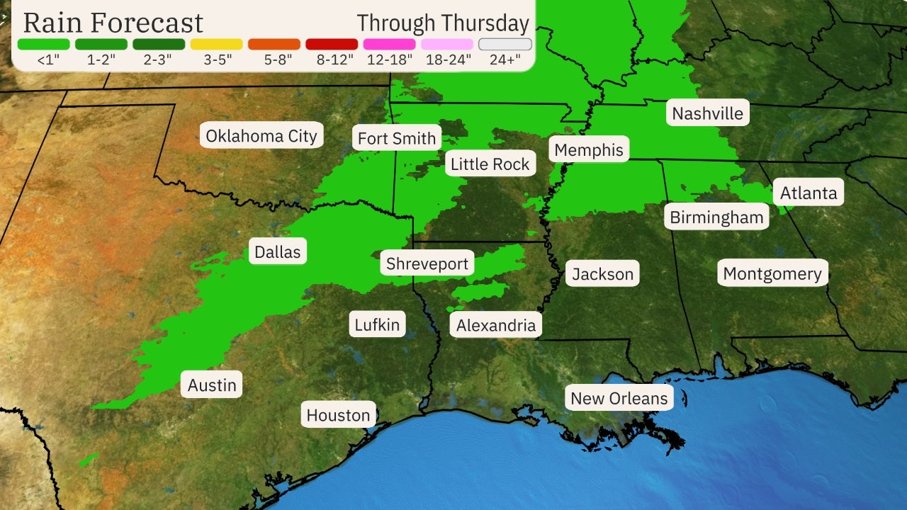
From there, this system might spread rain across the South Thursday into Friday. Snow or a mix of rain and snow is possible on its northern fringe through the Ohio Valley and into the Appalachians.
(MAPS: Daily Forecast Timing)
Rain and snowfall amounts from this system should be light in most areas Wednesday into early Friday, as depicted in our outlook below.
By later Friday and Saturday, this system might cause an intensifying area of low pressure to form off the East Coast. There could be rain or snow impacts to watch out for along the East Coast during that time, depending on the track and strength of the low. However, it's too soon to know if that will happen, so check back to weather.com for updates in the week ahead.
 Rain and Snow Outlook Wednesday Through Friday
2.) Northwest Stays Soaked
The Northwest has been in a wet pattern of late and that looks to continue much of this week as a series of Pacific fronts move inland.
The first system will enter the Pacific Northwest on Monday, and it will likely have the heaviest rainfall and mountain snow of the week. Rain is expected as far south as Northern California.
That will be followed by another front pushing across generally the same areas on Wednesday. A third system might affect the region late in the week.
Rainfall totals over 3 inches are possible in coastal areas of the Pacific Northwest through the week ahead. Snowfall will be measured in feet in the Cascades.
These systems won't be quite as soaking the farther south you head into California, including in the Bay Area. In addition, Southern California and Southwest won't see any drought-helping rain and mountain snow from this active weather pattern.
 Snow and Rain Forecast
3.) No Arctic Air
January marks the beginning of the coldest time of the year for a majority of the country, but the first full week of the month won't have a widespread arctic blast to contend with.
A majority of the country will have high temperatures that are near or even above average for early January this week.
The average high in Minneapolis-St. Paul is about 24 degrees this time of year. Afternoon readings there should mostly be in the lower to mid-30s in the week ahead.
Chicago, New York, Atlanta and Dallas will all see highs that are a few degrees above average for early January during the first half of the week.
While it won't be T-shirt weather in the nation's northern tier this week, it certainly could be worse given the month's reputation for biting arctic cold outbreaks.
 Forecast Highs
The Weather Company’s primary journalistic mission is to report on breaking weather news, the environment and the importance of science to our lives. This story does not necessarily represent the position of our parent company, IBM.
The Weather Company’s primary journalistic mission is to report on breaking weather news, the environment and the importance of science to our lives. This story does not necessarily represent the position of our parent company, IBM.

No comments:
Post a Comment