weather.com meteorologists
December is starting out with a winter storm wringing out wind-driven snowfall in the eastern Great Lakes and Appalachians.
This weather system has been named Winter Storm Dane by The Weather Channel.
Winter storm warnings and winter weather advisories have been issued by the National Weather Service (NWS) from the eastern Great Lakes to the Appalachians. Cleveland, Ohio, and Erie, Pennsylvania are among the cities that are under a winter storm warning, which means travel in these areas could be difficult or impossible at times.
 Winter Weather Alerts
The National Weather Service reports that parts of northern Ohio and northwest Pennsylvania have picked up at least 10 inches of snow, including 15 inches near Painesville, Ohio and 10.5 inches near Columbus, Pennsylvania.
some areas on the southeast side of Cleveland have had more than a half-foot of snowfall as of Tuesday morning. Just over a foot of snow was measured near South Thompson, Ohio on Tuesday morning.
Snowfall was less near the immediate shore of Lake Erie as of early Tuesday.
Trees and powerlines have been downed by the heavy snow and strong winds to the east of Cleveland in Geauga County, Ohio, according to the Chardon Fire Department.
Generally 1 to 4 inches of snow has been reported in Detroit, Pittsburgh, Columbus, Cincinnati and Charleston, West Virginia.
 Current Radar
This storm brought at least light snow as far south as middle and eastern Tennessee, western North Carolina and northern Georgia on Monday and Monday night. A foot of snow was measured at Roan Mountain, Tennessee, and 15 inches was reported near Robbinsville, North Carolina.
On the immediate Northeast coast, wind-driven rain knocked out power in some areas on Monday and Monday night. More than 100,000 homes and businesses were without power in Maine as of Tuesday morning, according to poweroutage.us.
Forecast
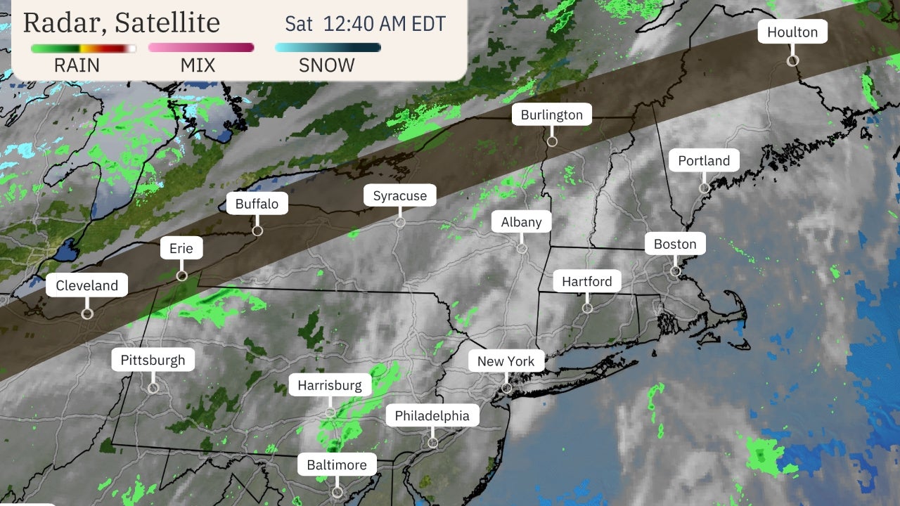
Wind-whipped snow will continue Tuesday night from the eastern Great Lakes into the Appalachians. Heavier snow will fall in bands south or southeast of Lake Erie.
Lingering wraparound snow and lake-effect snow from this storm could linger into Wednesday in western and central New York and northern New England.
Additional snowfall of 6 inches or more is most likely in the Lake Erie snowbelt from northeast Ohio to southwest New York, and also in the Lake Ontario snowbelt of upstate New York. Travel on the Interstate 90 corridor through Cleveland, Erie, Pennsylvania, and areas near and south of Buffalo, New York, could be difficult Tuesday night.
Accumulating snow is also expected in the Appalachians. This could also lead to treacherous travel.
 Rain and Snow Forecast
Monday's Storm Recap
Snowfall from this storm on Monday affected many areas from southeast Michigan into parts of Indiana, Ohio, West Virginia, Kentucky and Tennessee. Snow flurries were reported as far south as the Atlanta metro area.
On the storm's warm side, wind gusts over 50 mph have been clocked from the Jersey shore to Long Island and eastern New England. Over 100,000 customers were without power in the Northeast due to the storm, according to PowerOutage.us.
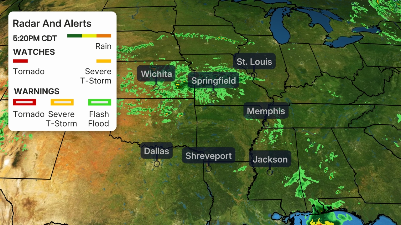
Isolated severe thunderstorms flared up Monday ahead of the cold front in the Mid-Atlantic states, prompting several severe thunderstorm warnings and even tornado warnings.
A brief EF0 tornado caused tree and property damage, as well as shook or tossed several cars, Monday afternoon in Montgomery County in Pennsylvania.
One tornado confirmed by NWS radar apparently crossed from eastern Maryland into western Delaware. Trees were downed, one of which landed on a vehicle in Marydel, Delaware.
Other severe thunderstorms downed numerous large trees in Woodlawn, Maryland, on the west side of the Baltimore metro area.
Some flooding was reported in a few spots from Virginia to New Jersey, but appeared to be fairly localized.
The Weather Company’s primary journalistic mission is to report on breaking weather news, the environment and the importance of science to our lives. This story does not necessarily represent the position of our parent company, IBM.
The Weather Company’s primary journalistic mission is to report on breaking weather news, the environment and the importance of science to our lives. This story does not necessarily represent the position of our parent company, IBM.

No comments:
Post a Comment