Linda Lam
Another weather system will bring the chance for rain and snow this weekend as temperatures rise.
High pressure will build in behind the impressive nor'easter allowing a break from stormy conditions. However, the next system will advance eastward into the Midwest and Plains Friday into Saturday, reaching the East by Sunday.
Milder temperatures are expected for most areas east of the Rockies into early next week, but then changes are anticipated as Christmas approaches.
Farther west, an active pattern will persist in the Pacific Northwest in the week ahead.
Weekend System
The next system will slide eastward this weekend spreading rain and snow showers. This system is expected to be fairly weak and will generally bring light precipitation.
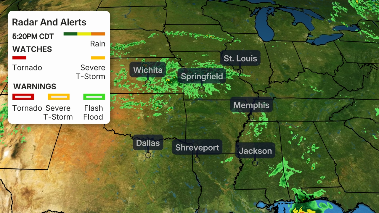 Current Radar
A cold front will bring the chance of snow showers to parts of the Great Lakes into Saturday as another disturbance spreads showers and some thunder into eastern Texas, eastern Oklahoma and Arkansas.
These two pieces will result in the chance of rain from the Gulf Coast into the mid-Mississippi Valley, with snow or a mix of rain and snow toward the southern Great Lakes and Lower Michigan on Saturday. A few thunderstorms may develop in portions of Texas.
 Saturday's Forecast
Precipitation will extend eastward Saturday night across much of the South and into portions of the interior Northeast.
On Sunday, the chance of showers will continue in much of the South and into portions of the mid-Atlantic, with snow showers possible in parts of the Northeast.
 Sunday's Forecast
Additional disturbances may bring another round of rain and snow into Monday. It is also possible that an area of low pressure forms along the East Coast Sunday night or Monday, but even if that does not happen some precipitation will likely linger into Monday.
Rain and snow totals are expected to be light into early next week. Less than an inch of rain is anticipated and in areas that are cold enough for snow, snowfall totals will generally be less than 3 inches.
Temperature Changes
Temperatures will begin to rise this weekend from the Plains to the East Coast and by early week much of the Lower 48 will experience highs near or above average.
Many locations in the Plains and Midwest will enjoy highs 10 to 20 degrees warmer than average for this time of year early next week. Highs in the 60s will return to parts of the South, with 30s and 40s for much of the Midwest.
 Forecast Highs
Things will change midweek. A cold front is expected to track through the central U.S. which will knock temperatures back to average and possibly below average by the middle of the week.
The colder than average conditions will likely extend eastward by the end of next week, including Christmas. Heading into the holidays there is a sign for below average temperatures in the East, while most areas west of the Mississippi River are likely to experience warmer than average temperatures, according to NOAA's Climate Prediction Center.
However, the details on how cold it will be and how much, what type and when precipitation may fall remains uncertain given it is almost a week out. Be sure to check back to weather.com for updates in the days ahead.
(MORE: White Christmas Forecast)
 Temperature Outlook
Active Northwest
Farther west, a series of systems will continue moving through the Pacific Northwest into early next week.
A deep plume of moisture will accompany the system that moves into the Northwest this weekend. Temperatures will also rise which means snow will generally fall in the higher elevations, above pass level.
Several inches of rain are expected from northwestern Oregon into western Washington. Snow will continue to pile up in the higher elevations of the Cascades into early next week.
Saturated ground and heavy rainfall may also increase the threat for flooding and landslides this weekend, the National Weather Service in Seattle notes. Gusty winds are also expected along the coast.
 Rain and Snow Forecast
The Weather Company’s primary journalistic mission is to report on breaking weather news, the environment and the importance of science to our lives. This story does not necessarily represent the position of our parent company, IBM.
The Weather Company’s primary journalistic mission is to report on breaking weather news, the environment and the importance of science to our lives. This story does not necessarily represent the position of our parent company, IBM.


No comments:
Post a Comment