Jonathan Erdman
Snow that has blanketed parts of the northern Rockies, northern Plains, upper Midwest and northern New England set October records in one location, and more snow is on the way through early next week, possibly as far south as Texas.
We're only about a month into autumn, but in the last week a colder pattern in parts of the country has reminded us that winter is fast approaching.
Montana was hardest hit. Great Falls picked up 13.8 inches of snow Friday through Monday and set a number of October snowfall records, including:
-Heaviest calendar-day October snowfall: 8.2 inches Sunday
-Greatest October snow depth: 10 inches Monday, which topped previous record set last year on Oct. 9.
-Earliest-in-season 10-inch snow depth, which beat the previous record set Nov. 9, 2012.
(FLASHBACK: Record Late-September 2019 Montana Snowstorm)
If this sounds like déjà vu in this part of Montana, you're right.
Up to 4 feet of snow buried parts of northern Montana in late September 2019, prompting an emergency declaration from Gov. Steve Bullock. That was followed just over a week later by an early October snowstorm.
Billings picked up just under a foot of snow Saturday through Monday in its first measurable snow of the season. Temperatures the previous weekend there hit 85 degrees.
The snow hasn't just been in the Rockies though.
Parts of Iowa were blanketed by two rounds of snow Sunday and Monday.
On Sunday, Des Moines picked up its second earliest 1-inch-plus snowfall on record since 1885.
On Monday, a thin band of heavy snow parked over parts of central and eastern Iowa and dumped 6 to 9 inches of snow in some north Des Moines suburbs. It was the snowiest October day on record in Ankeny.
In eastern Iowa, 2 to 5 inches of snow fell in Cedar Rapids on Monday and blanketed debris from the mid-August derecho, the costliest single-day thunderstorm event to hit the U.S. in 40 years.
Other places that picked up their first snow of the season included Omaha, Nebraska; the Minneapolis-St. Paul metro; Fargo, North Dakota; parts of southern Wisconsin; and parts of northern New England.
 Estimated Month-to-Date Snowfall
And There's More...
This impressive snow stretch will not only remain in place into next week, but also could expand into parts of the South.
The culprit is a rather blocky jet-stream pattern with a strong dome of high pressure that pokes north from the North Pacific Ocean into the Gulf of Alaska. A deep southward jet-stream plunge will lock in place over the West and Northern Plains.
Computer forecast models suggest multiple additional rounds of snow in this general area through early next week.
The first of these, named Winter Storm Abigail by The Weather Channel, swept through the upper Midwest Tuesday, dumping snow from the eastern Dakotas into Minnesota, northern Wisconsin and Michigan's Upper Peninsula.
The Twin Cities picked up their most October snow in any one day since the infamous Halloween 1991 blizzard. Typically the first snow of the season there happens in mid-November.
(MORE: When the First Snow of the Season Typically Falls)

Here are the additional rounds of snow forecast in the West and Plains through early next week.
-Wednesday through Thursday night: Northern Rockies through Northern Plains, far upper Midwest
-Friday through Sunday: Interior Northwest to Rockies, Plains and upper Midwest
-Sunday through Monday night or Tuesday: Central and southern Rockies into parts of the Plains and Midwest
The combination of these systems will likely produce at least 6 inches of additional snow from much of Montana and northern Wyoming through the Dakotas, Minnesota and northern Wisconsin.
This extended snowy stretch could set October monthly snowfall records in Fargo, North Dakota (8.1 inches in 1951); Billings, Montana (23.1 inches in 1949); and Great Falls, Montana (18.5 inches in 1926).
Great Falls, currently on a five-day streak of measurable snow since last Friday, could see additional snow each day through Saturday. That nine-day snow streak would be third longest all-time there, and three times the average number of October days with measurable snow.
 Additional Snow Through Early Next Week
Some of the snow this weekend will be welcomed relief from the recent large wildfires in Colorado.
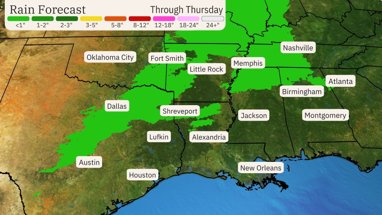
Given the southward expansion of cold air, unusually early first snow of the season could fall farther south early next week, from parts of western Texas and Oklahoma into Kansas and Missouri.
Coincidentally, parts of the Texas Panhandle, Oklahoma and Arkansas also picked up a freakish early snow late last October. The October 24, 2019, thundersnow event in Amarillo, Texas, was their heaviest October snowstorm in 101 years.
In some of these areas, the first snow usually doesn't occur until late November or December.
(MORE: How Early in the Fall It Has Snowed in Your City)
This snowy stretch will be accompanied by cold air more reminiscent of winter and will likely set numerous daily records in the Northwest, Rockies and parts of the Plains.
The Weather Company’s primary journalistic mission is to report on breaking weather news, the environment and the importance of science to our lives. This story does not necessarily represent the position of our parent company, IBM.
The Weather Company’s primary journalistic mission is to report on breaking weather news, the environment and the importance of science to our lives. This story does not necessarily represent the position of our parent company, IBM.

No comments:
Post a Comment