weather.com meteorologists
Hurricane Teddy is helping to churn up high surf, coastal flooding and rip currents on the U.S. East Coast as it tracks away from Bermuda on its way toward parts of Atlantic Canada.
Teddy's center passed just over 150 miles east of Bermuda, close enough for the archipelago to see tropical-storm-force winds and bands of heavy rainfall. Fortunately, these winds were not as bad as those experienced last Monday when Paulette passed over Bermuda.
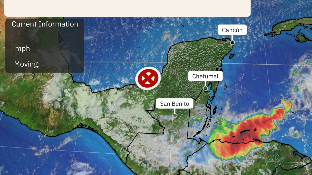 Current Information and Projected Path
Even though Teddy is passing well east of the U.S., the hurricane in combination with strong high pressure is a major wave generator for the Eastern Seaboard, from the east coast of Florida to Maine.
 Wave Heights
There will also be areas of coastal flooding and rip currents through early week on parts of the East Coast.
The National Weather Service has issued coastal flood alerts along the East Coast from Florida to the mid-Atlantic, Long Island and New England.
Overwash in the Outer Banks of North Carolina caused parts of Highway 12 to be closed on Sunday morning.
Coastal flooding was reported in some of the usual spots around Atlantic City, New Jersey, Charleston, South Carolina, and as far south as Flagler Beach, Florida on Monday.
 Coastal Flood Alerts
Eventually, Teddy will transition from a hurricane to an "extratropical storm" late Tuesday into early Wednesday as it moves north of the Gulf Stream and gets a boost from a jet-stream plunge to its west.
With that boost from the jet stream, it will remain a formidably intense storm into midweek, regardless of what meteorologists call it. It will also grow tremendously in size.
Teddy's large size and strength could create seas over 60 feet by Tuesday along its path in the open North Atlantic Ocean, according to NOAA's Ocean Prediction Center.
Instead of curling sharply northeast into the open North Atlantic, Teddy will be diverted far enough north to bring significant impacts to the Canadian Maritimes, particularly Nova Scotia and Newfoundland. Strong winds, heavy rainfall and storm surge could affect parts of these areas Tuesday afternoon into into early Thursday.
The Canadian Hurricane Center has issued a tropical storm warning for the southern coast of Nova Scotia, from Digby to Meat Cove. Tropical storm conditions (wind 39 mph or greater) are possible in this area by Tuesday afternoon.
A tropical storm watch is in effect for the remainder of the Nova Scotia coast and for a part of southwest Newfoundland. Tropical storm conditions could reach western Newfoundland by Tuesday night or Wednesday.
 Tuesday Evening's Forecast
The Weather Company’s primary journalistic mission is to report on breaking weather news, the environment and the importance of science to our lives. This story does not necessarily represent the position of our parent company, IBM.
The Weather Company’s primary journalistic mission is to report on breaking weather news, the environment and the importance of science to our lives. This story does not necessarily represent the position of our parent company, IBM.


No comments:
Post a Comment