Jonathan Belles
Widespread flash flooding is expected to continue in parts of Arkansas and neighboring states through Thursday.
Arkansas now sits squarely between the drenched ground leftover by Laura and a slow-moving cold front, which will lead to more flooding in the Natural State.
Laura moved northeastward through Arkansas as a tropical storm, then tropical depression, bringing 2-6 inches of rain to the state.
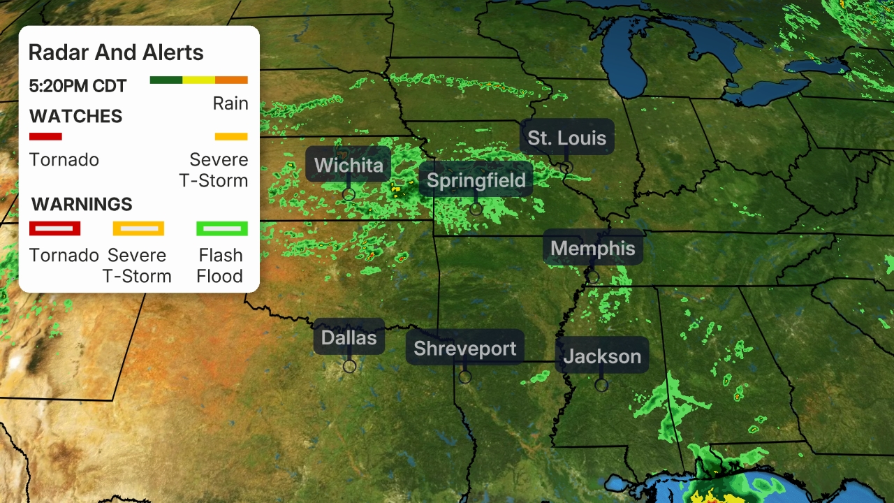
Now, a slowly sagging cold front is enhancing the chance of showers and thunderstorms from Dallas to Louisville.
 Current Radar
Forecast
Flooding is expected from northern Texas to central Arkansas after additional flooding rain fell on Tuesday on top of the already soggy ground from Tropical Storm Laura's passage through the state.
Here's where NOAA's Weather Prediction Center is most concerned with the flood threat through Wednesday.
 Flood Outlook
It is expected that central and western Arkansas will be in the crosshairs of the worst flooding on Wednesday.
 Flood Outlook
Rainfall Forecast
Here's where the highest additional rainfall is expected, in yellow and oranges on the map below, through the rest of the workweek. Amounts may be locally higher where clusters of thunderstorms or areas of heavy rain stall over a period of an hour or more.
 Forecast Rainfall
The Weather Company’s primary journalistic mission is to report on breaking weather news, the environment and the importance of science to our lives. This story does not necessarily represent the position of our parent company, IBM.
The Weather Company’s primary journalistic mission is to report on breaking weather news, the environment and the importance of science to our lives. This story does not necessarily represent the position of our parent company, IBM.

No comments:
Post a Comment