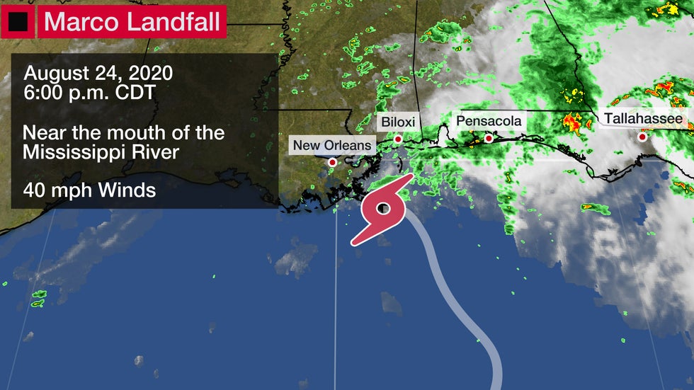
Tropical Depression Marco is weakening as it tracks near the northern Gulf Coast into Tuesday, where it will bring locally heavy rainfall and gusty winds to parts of Louisiana, Mississippi, Alabama and the Florida Panhandle.
Marco made landfall near the mouth of the Mississippi River around 6:00 p.m. CDT as a tropical storm, with maximum sustained winds of 40 mph.
 Marco's Landfall
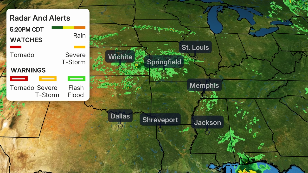
Current Information and Latest Alerts
The center of Marco will continue moving near the coast of Louisiana into early Tuesday.
Marco is battling unfavorable upper-level winds, which means it has weakened from its peak intensity on Sunday. The wind shear has also caused much of the rain and gusty winds from the storm to be located north and northeast of its circulation center.
 Current Radar
A wind gust up to 38 mph was measured on Petit Bois Island, Mississippi, Monday evening.
Rainfall totals related to Marco near Apalachicola, Flordia, have measured as high as 11.81 inches, as of Monday morning. Water was reported over roads in several locations in Panama City Beach, Florida, Monday evening.
Forecast
Marco will move westward tonight while steadily weakening into a remnant area of low pressure. It is expected to dissipate by early Wednesday.
Rainfall totals are forecast to be 1 to 3 inches, but locally up to 5 inches could soak some areas from the north-central Gulf Coast into the Southeast.
An isolated tornado threat also cannot be ruled out from southern Mississippi to parts of Florida and southern Georgia into early Tuesday.
 Current Information
The Weather Company’s primary journalistic mission is to report on breaking weather news, the environment and the importance of science to our lives. This story does not necessarily represent the position of our parent company, IBM.
The Weather Company’s primary journalistic mission is to report on breaking weather news, the environment and the importance of science to our lives. This story does not necessarily represent the position of our parent company, IBM.

No comments:
Post a Comment