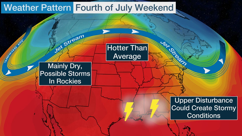
Fourth of July weekend could be stormy in the South as many other parts of the country experience summertime heat and dry conditions.
The jet stream pattern will bulge northward over the nation's midsection, where temperatures are forecast to be hotter than average in parts of the nation's northern tier.
Well to the south of the jet stream, there will be a weak upper-level disturbance that gets stuck near the Gulf Coast. That could lead to the development of more numerous showers and thunderstorms through the holiday weekend.

Here's a look at the daily forecast.
Saturday, July 4
-Chance of t-storms: The Fourth of July forecast shows a good chance of scattered thunderstorms in the South, particularly near the Gulf Coast and lower Mississippi Valley. A few hit-or-miss showers and storms are also possible in the mid-Atlantic. The Front Range of the Rockies could see a few storms, and there might be some scattered t-storms from Montana into the Dakotas and northern Minnesota.
-Looks mainly dry: Dry conditions are most likely near the Great Lakes, Ohio Valley and most areas west of the Rockies.
-Temperatures: The Great Lakes and Ohio Valley will once again have temperatures much above average. These areas will see another day with highs into the 90s in many areas. Another hot spot is the Desert Southwest, where Phoenix could be 110 degrees or hotter. Most other areas of the country will see highs that are close to the average for this time of year.
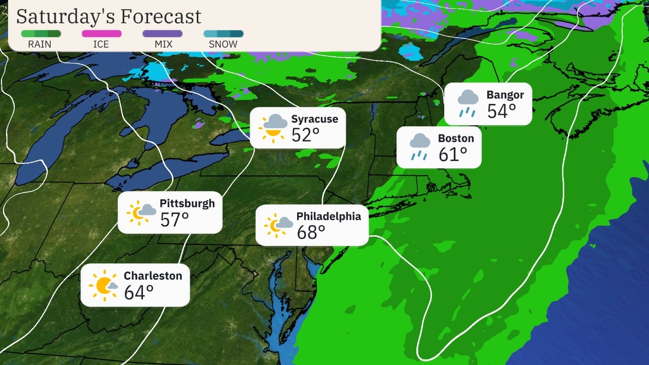
 Saturday's Forecast
Sunday, July 5
-Chance of t-storms: The forecast to close out the holiday weekend won't change much from the previous days. Showers and storms could be numerous again in the lower Mississippi Valley and Southeast. Parts of New England could see a few thunderstorms. Some pockets of thunderstorms are possible in the Rockies as well as in the Northern Plains.
-Looks mainly dry: Dry weather is most likely in the Ohio Valley and areas west of the Rockies.
-Temperatures: Temperatures will continue to be hot in the Midwest and Great Lakes, with Chicago and Minneapolis both potentially topping out in the lower 90s. The Desert Southwest is forecast to remain hot as well with highs near or above 110 degrees possible in the Phoenix area. Temperatures will be typical for early July in most other areas of the country.
 Sunday's Forecast
The Weather Company’s primary journalistic mission is to report on breaking weather news, the environment and the importance of science to our lives. This story does not necessarily represent the position of our parent company, IBM.
The Weather Company’s primary journalistic mission is to report on breaking weather news, the environment and the importance of science to our lives. This story does not necessarily represent the position of our parent company, IBM.

No comments:
Post a Comment