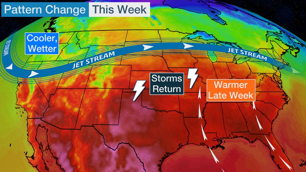
A weather pattern change in the week ahead will allow warmer temperatures to build back into the East, increase the potential for thunderstorms in the central U.S. and bring cooler, wetter conditions to the Northwest.
Colder-than-average temperatures will continue to the east of the Rockies early this week as a sharp southward plunge of the jet stream remains in place.
Changes will take place by midweek as the jet stream lifts out and allows warmer air to slowly migrate back into the central and eastern United States. There will also be increasingly stormy weather in the middle of the country as disturbances move in from the West.

Here's a look at the changes to expect by later this week.
A Temperature Shift
Along with the flattening of the jet stream – which, this time of the year, often divides places that feel like spring from those that feel like winter – we'll have a resurgence of springlike temperatures across the eastern half of the country by later this week.
For most, temperatures will rebound to levels that are near or even above average for this time of year.
By Thursday, Atlanta will rise back into the 80s, and Indianapolis and Washington, D.C., might have 70s return. New York City could jump back into the 70s on Friday.
 Forecast Highs Compared to Average
Reminder: It's Still May
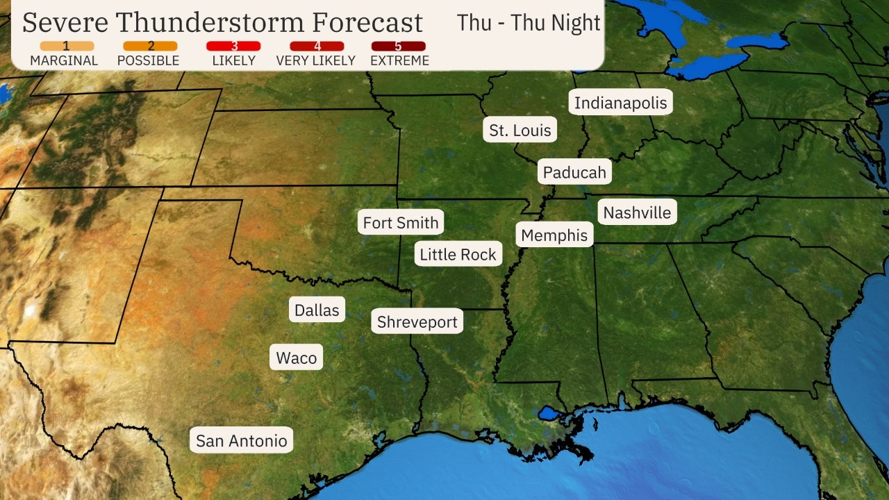
Even though the jet stream pattern is expected to be more zonal – directing weaker storm systems from west to east – through the week ahead, at least one system could bring a chance of severe thunderstorms to parts of the Plains.
By Wednesday, enough warm and humid air may return to the Plains to open the door for severe thunderstorms.
NOAA's Storm Prediction Center currently has an area of the Plains from southeast Nebraska and southwest Iowa to northwest Texas highlighted with a risk of at least scattered severe thunderstorms in its Wednesday outlook. Supercell thunderstorms in this area could produce large hail and some tornadoes.
 Wednesday-Wednesday Night Severe Thunderstorm Forecast
There could be some additional strong to severe storms and heavy rain Thursday into the weekend from the Plains into the Midwest, but details are uncertain.
The West Turns Wet
The Northwest will exchange its record heat from this past weekend for rain showers beginning Monday and increasing through midweek.
This rain is largely beneficial for the West, especially in Northern California and Oregon, where extreme drought has developed since early spring.
This showery weather could last for several days and might result in more than an inch of rain from the Pacific coast to the Cascades, with lighter rain throughout the Northwest and into the northern Rockies.
 Tuesday's Forecast
The Weather Company’s primary journalistic mission is to report on breaking weather news, the environment and the importance of science to our lives. This story does not necessarily represent the position of our parent company, IBM.
The Weather Company’s primary journalistic mission is to report on breaking weather news, the environment and the importance of science to our lives. This story does not necessarily represent the position of our parent company, IBM.

No comments:
Post a Comment