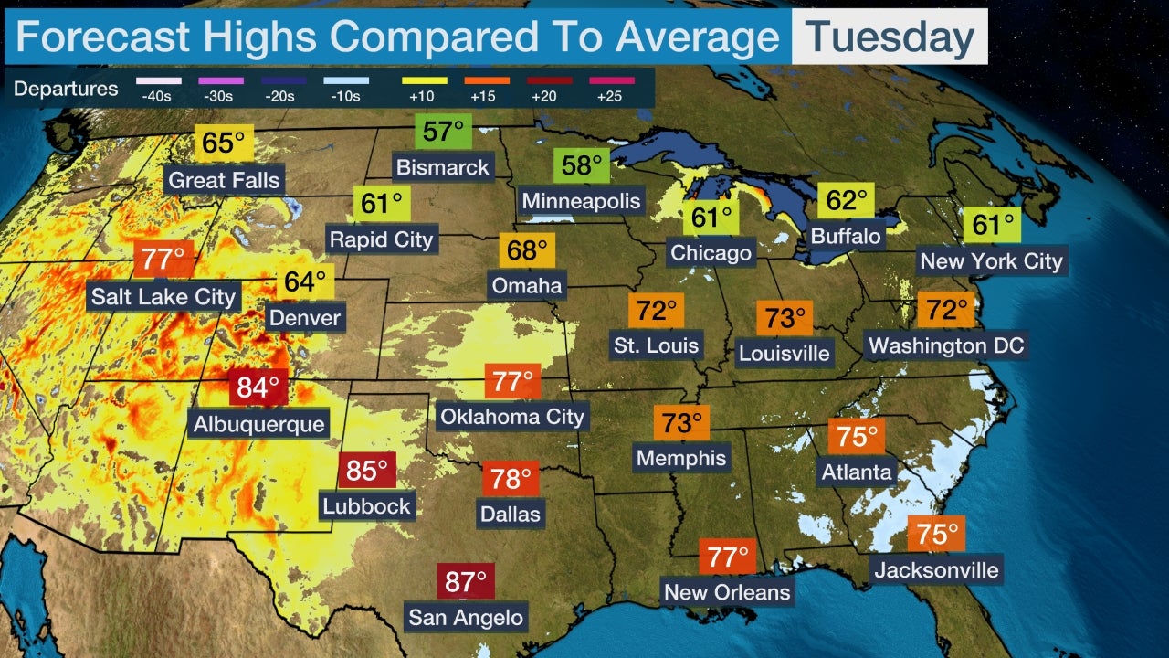
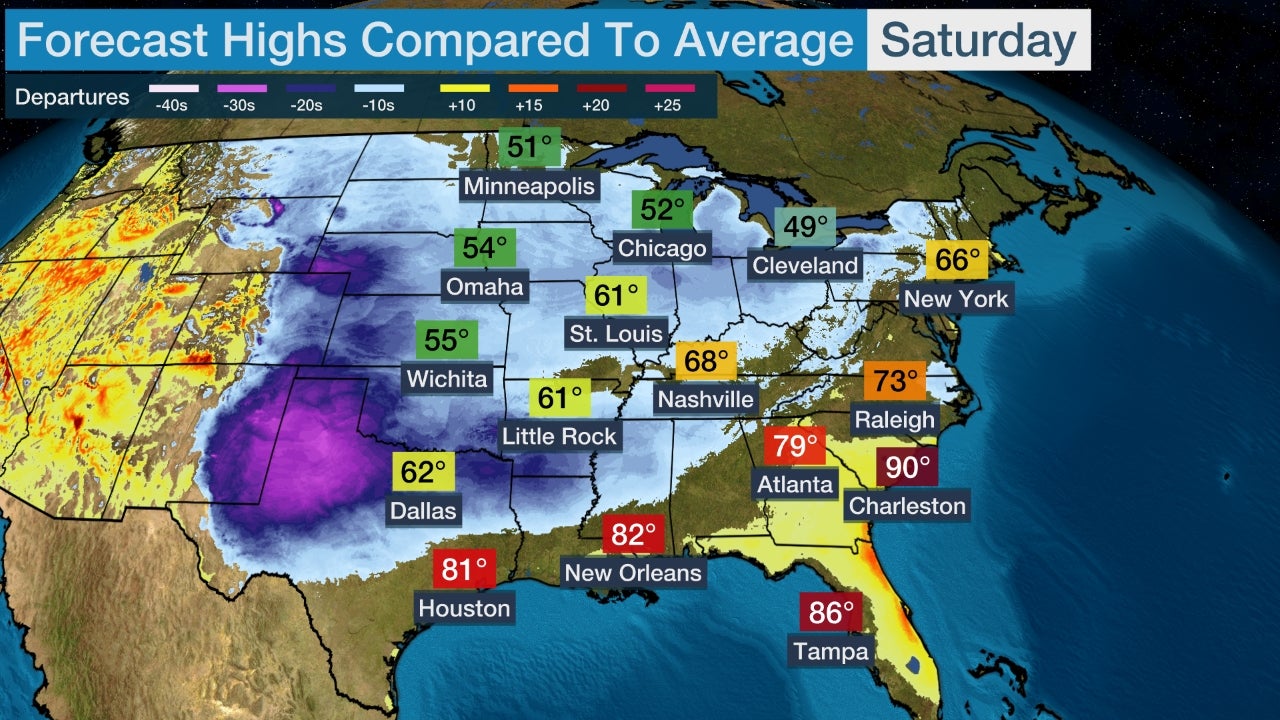
Halloween will feature more tricks than treats for the eastern U.S. as a large storm system sweeps eastward. Cold weather could also impact your spooky plans in parts of the Rockies and Plains.
A low pressure system is expected to develop in the mid-South early on Halloween before moving northeastward toward the Great Lakes into Halloween night, bringing with it some frightful weather for trick or treaters.
Showers and thunderstorms could stretch from eastern Texas to the Southeast, Ohio Valley, mid-Atlantic and Northeast on Thursday. It's possible that severe thunderstorms could threaten parts of the Ohio Valley and South.
Snow could fly through the air from eastern Kansas to the Upper Midwest.
Dry conditions will grip areas from the High Plains to the West Coast.

Halloween Evening
While the forecast for Halloween night will likely change with shifts west or east in the track of this storm system, here is an early look at the trick or treat forecast.
Showers and some thunderstorms are possible from portions of the South into the Ohio Valley and Northeast. As mentioned earlier, there could be a threat of severe thunderstorms from parts of the South into the Ohio Valley.
Snow showers are also possible in the Upper Midwest as cold air wraps around the low pressure system. Accumulating snow is possible, but it is too early to know where and how much.
Give your mummies a few extra layers across the West and Plains where temperatures will be much colder than average for the final day of October. Evening temperatures will be in the teens and 20s from Colorado to Montana.
Conditions will be warm across the Southeast, but it will be rainy for many with the exception of much of Florida and the coastal Carolinas.

The Weather Company’s primary journalistic mission is to report on breaking weather news, the environment and the importance of science to our lives. This story does not necessarily represent the position of our parent company, IBM.

No comments:
Post a Comment