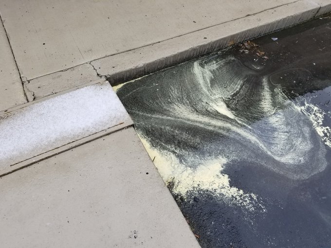
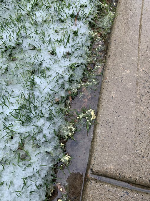
A rare weather phenomenon unfolded over a small area of North Carolina and South Carolina on Tuesday, making the second day of April feel more like the second day of January.
Snow fell along the western edge of a strengthening storm tracking up the East Coast. This was not a major snowstorm, but it was very unusual for the region for this time of year.
It is difficult for snow to accumulate during the daytime this late in the season due to the stronger, more direct sunlight; however, some minor snow accumulation was reported in parts of central South Carolina and central North Carolina, mainly on grassy and elevated surfaces.
Charlotte, North Carolina, was one of the bigger cities to see some snow accumulate. Tuesday was only the second time since 1915 that the city saw measurable snowfall during the month of April, according to AccuWeather Social Media Manager Jesse Ferrell. The other occurrence took place in 1982.

The snow did not make it far enough west to reach the Smoky Mountains, with cities such as Asheville, North Carolina, and Greenville, South Carolina, staying dry.
Meanwhile, a cold, steady rain fell elsewhere in the Carolinas as the strengthening storm tracked up the Eastern Seaboard.
The snow is not expected to stick around for long with temperatures forecast to rebound to near 70 F across much of the region on Wednesday.
RELATED:
Coastal nor'easter targeting multiple locations up and down the Eastern Seaboard
South Central US to face new severe weather danger Wednesday, Thursday
Weather movie madness: Vote to determine which of these 8 weather-related movies is the best
Coastal nor'easter targeting multiple locations up and down the Eastern Seaboard
South Central US to face new severe weather danger Wednesday, Thursday
Weather movie madness: Vote to determine which of these 8 weather-related movies is the best


No comments:
Post a Comment