Jonathan Erdman
A tropical depression or storm could develop over the western Gulf of Mexico early next week. Even if that doesn't happen, flash flooding may be a problem facing areas near the Texas and Louisiana Gulf Coast.
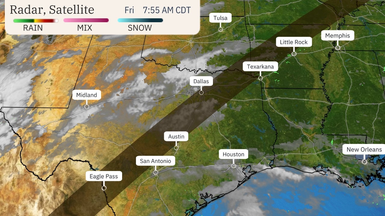
Right now, a tropical wave – basically an area of low pressure that can act as a seed of a tropical depression or storm – is pushing westward across Honduras, Belize and Mexico's Yucatán Peninsula with showers and thunderstorms.
Once the northern end of that disturbance sweeps into the western Gulf of Mexico, it could combine with an existing area of low pressure and a tropical depression or storm could form.
The National Hurricane Center has assigned a high chance of development in this general area east of Mexico's Gulf Coast.
If a depression or storm does form, it's expected to either track northward toward the Texas coast or may drift ashore in eastern Mexico early next week. The next Atlantic storm names are Nicholas and then Odette.
 NHC Potential Development Area
Wind shear – typically disruptive for the development of tropical depressions and storms – is forecast to diminish by early next week, with upper-level winds potentially acting to ventilate a developing system rather than rip it apart.
And typical for mid-September, the western Gulf of Mexico has plenty of deep, warm water to fuel tropical development, with surface temperatures from 86 to 88 degrees.
(MORE: It's the Peak of Hurricane Season; There's a Long Way to Go)
A Flood Threat, Regardless
Whether or not a tropical depression or storm manages to form, deep moisture pushing northward from the Gulf and the tropical eastern Pacific Ocean will lead to an increasingly wet pattern along the western Gulf Coast.
Bands of locally heavy rain could begin to wrap ashore from eastern Mexico to the Texas and Louisiana coasts as soon as Sunday and might last for several days through at least the first half of next week.
If a tropical depression or storm does form, that would help to concentrate heavier rain near or to the east of its circulation.
No matter what, a threat for flash flooding is in play near the Gulf Coast from eastern Mexico to Texas to at least southwestern Louisiana. At least some bands of heavier rain might also swing inland over southeastern Louisiana and southern Mississippi – areas still recovering from Hurricane Ida.
 Rainfall Outlook
Onshore winds are also likely to lead to dangerous rip currents and at least some minor coastal flooding along parts of the Texas and southwestern Louisiana coasts.
Check back frequently for the latest on this situation as it develops.
The Weather Company’s primary journalistic mission is to report on breaking weather news, the environment and the importance of science to our lives. This story does not necessarily represent the position of our parent company, IBM.
The Weather Company’s primary journalistic mission is to report on breaking weather news, the environment and the importance of science to our lives. This story does not necessarily represent the position of our parent company, IBM.


No comments:
Post a Comment