Linda Lam and Jonathan Belles
A heat wave is already smashing record highs in the West and is spreading into the upper Midwest and Northeast kicking off summer's first core month.
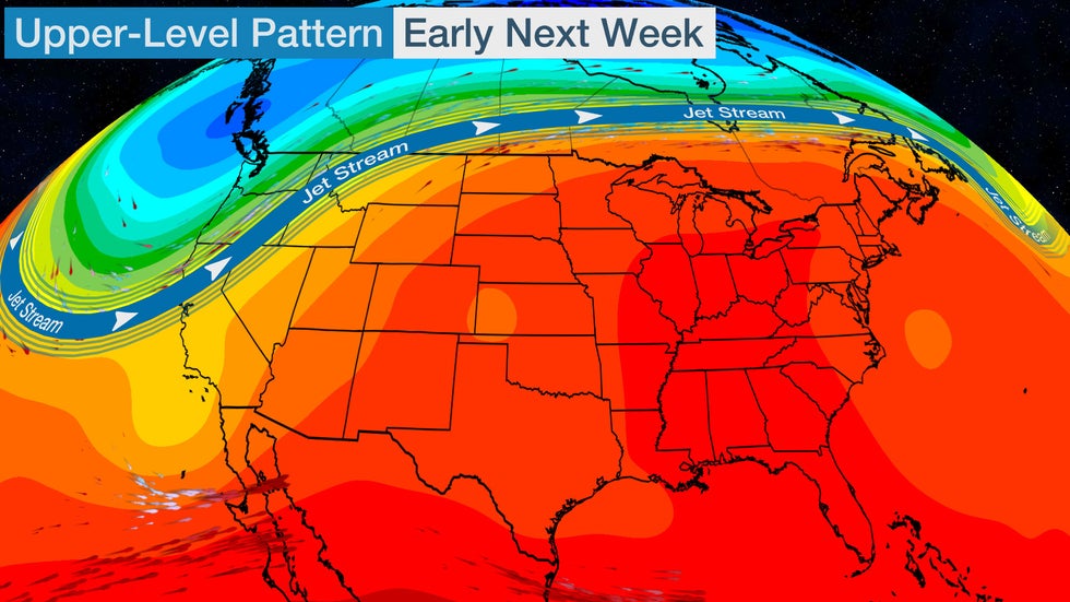
A northward bulge of the jet stream is already triggering record heat in parts of the West.

Celebrate Dad With These Unique Father's Day Gift Ideas (SPONSORED)
However, a shift in this upper-level pattern will result in a ridge of high pressure building over the East and a trough, or southward dip in the jet stream, near the West Coast.
This will cool off the West and shift the record heat into the Midwest and Northeast.
Below, we take a closer look at what to expect.
Western Heat, But Relief Ahead
Heat alerts have been issued by the National Weather Service in parts of California, Nevada, Arizona, Utah and Montana.
Areas in excessive heat warnings will see temperatures that could cause heat illnesses, including heatstroke and heat exhaustion.
 Heat Alerts
Daily record highs have already been set and are expected to persist in the West through Friday.
Redding, California, set its hottest May temperature on record when the city soared to 109 degrees Monday. Among daily records set Tuesday included Portland, Oregon (95 degrees) and 103 degrees in Merced, California.
On Wednesday, numerous daily record highs were set including in Las Vegas (107 degrees - tied), Pendleton, Oregon (100 degrees), Reno, Nevada (98 degrees), Spokane, Washington (94 degrees) and Helena, Montana (92 degrees). Daily record highs set on Thursday include Death Valley, California (120 degrees - tied), Las Vegas (108 degrees), Boise, Idaho (103 degrees), Salt Lake City (97 degrees) and Billings, Montana (96 degrees).
A few record highs may still be set in the Great Basin, Friday, including Salt Lake City where the high may approach the century mark.
However, as the northward bulge in the jet stream shifts eastward, temperatures will begin to trend downward this weekend.
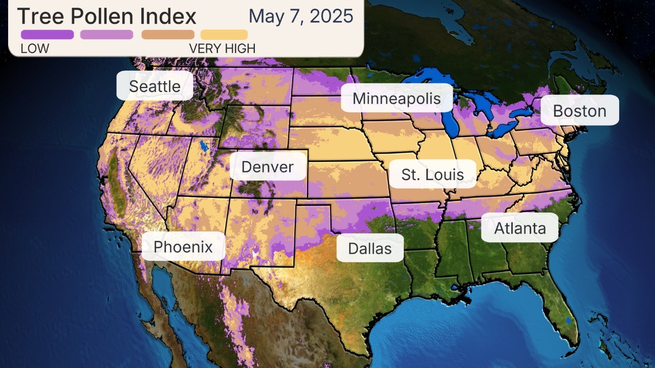
Cooler temperatures emerged first in the Northwest Thursday and most from the northern Rockies to California will be closer to average by early next week. Seattle observed a high of 75 degrees on Thursday which was about 10 degrees cooler than earlier in the week.
 Forecast Highs
Heating Up in the Midwest and Northeast
Temperatures have begun to heat up in the Northern Plains and this trend will persist into this weekend.
Highs will be 10 to 30 degrees above average from Friday into the weekend from the Northern Plains into the upper Midwest. Temperatures will soar into the 80s and 90s and a few spots in the Northern Plains may approach or exceed 100 degrees Friday and Saturday. The peak heat will stretch from the Dakotas into Minnesota.
Daily record highs are possible Friday and Saturday, including in Rapid City, Bismarck, Fargo, Minneapolis and Duluth. On Thursday, Bismarck, North Dakota, set a daily record high of 98 degrees.
(MAPS: 7-Day Forecast)
Lows will also trend warmer, with temperatures dipping only into the 60s and 70s.
The peak of the heat will taper a tad early next week but it will still remain hotter than average with highs in the 80s and lower 90s for much of the Northern Plains and upper Midwest.
 Forecast Highs
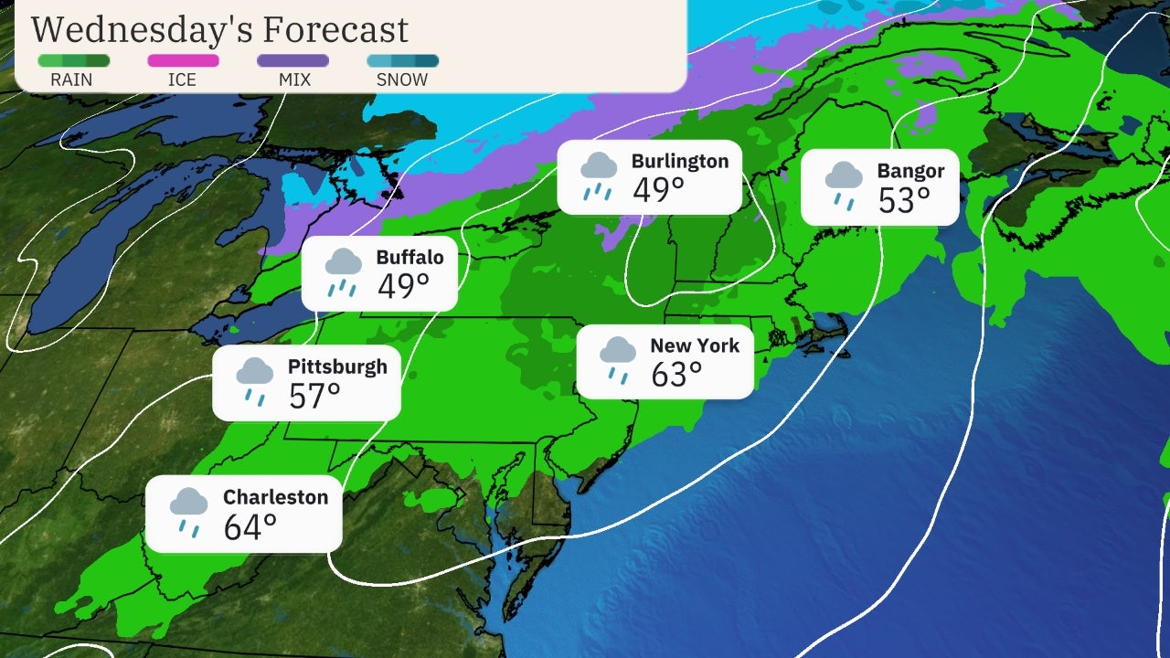
It will take a little longer for the heat to reach the Northeast.
Highs 10 to 25 degrees above average will return to the Northeast by the weekend and will continue into early next week. This translates into highs well into the 80s and even into the 90s at times. A few daily record high temperatures are also possible beginning Sunday.
Temperatures will only drop into the 60s and 70s for morning lows.
Check Out These Outdoor Fire Pit Tables On Sale Now (SPONSORED)
Low temperatures this upcoming weekend will be warmer than the highs observed in most areas of the Northeast over the rainy, chilly Memorial Day weekend. Numerous record cold high temperatures were set last Sunday, including Worcester (47 degrees), Albany (48), Boston (51 - tied), New York City (51) and Philadelphia (53).
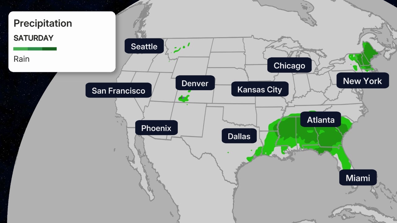
It will generally be dry this weekend as well, so this may be a welcomed change from the damp holiday weekend.
 Forecast Highs
How Long Will This Heat Last?
There are signs that this hotter pattern across the northern tier from the Plains into the East and cooler conditions in the West will continue through much of next week.
(MORE: June Temperature Outlook)
NOAA's Climate Prediction Center has highlighted much of the northern half of the country from the Northern Plains to the Northeast as having the greatest chance of above-average temperatures next week, and possibly right through mid-month. Meanwhile, portions of the West Coast and Texas have a better chance of cooler-than-average temperatures.
 Temperature Outlook
The Weather Company’s primary journalistic mission is to report on breaking weather news, the environment and the importance of science to our lives. This story does not necessarily represent the position of our parent company, IBM.
The Weather Company’s primary journalistic mission is to report on breaking weather news, the environment and the importance of science to our lives. This story does not necessarily represent the position of our parent company, IBM.

No comments:
Post a Comment