Published: May 11, 2021
Severe thunderstorms and locally heavy rainfall will impact the South through Wednesday morning along a front that has stalled out over the region.
This weather system has triggered severe weather in the Plains and South since last weekend.
Severe storms on Monday produced hail up to 4 inches in diameter, or roughly softball size, in Denton County and near Cleo, Texas. A brief tornado caused minor damage at a shopping center along Interstate 45 in Huntsville, Texas.
A broad area from Texas to the Gulf Coast region could see scattered severe storms through Wednesday morning.
Shop These Outdoor Games Perfect for Beach or Yard Parties (SPONSORED)
Damaging wind gusts and hail are the primary threats, but an isolated tornado is also possible.
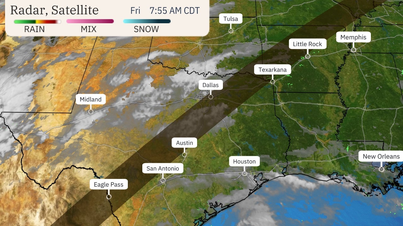
 Current Radar, Watches and Warnings
More locally heavy rain is also expected in the South into Wednesday.
This could result in a few pockets of flash flooding, especially from eastern Texas into the lower Mississippi Valley. Flash flood watches have posted by National Weather Service for much of this region.
Heavy rain on Monday morning contributed to flash flooding in the New Orleans metro area. Numerous streets were reportedly flooded and some vehicles stalled in floodwaters in Metairie.
The Weather Company’s primary journalistic mission is to report on breaking weather news, the environment and the importance of science to our lives. This story does not necessarily represent the position of our parent company, IBM.
The Weather Company’s primary journalistic mission is to report on breaking weather news, the environment and the importance of science to our lives. This story does not necessarily represent the position of our parent company, IBM.


No comments:
Post a Comment