Linda Lam
Two systems will result in a wet, stormy pattern for parts of the South and Plains into next week.
An upper-level low, combined with a stalled front, will allow ample moisture from the Gulf of Mexico to bring heavy rainfall to parts of Texas into Saturday. This system will continue to bring rain and thunderstorms to Texas and the lower Mississippi Valley this weekend.
Then, another system will dive into the Plains early next week. Rain and the potential for severe thunderstorms will accompany this next disturbance as it tracks eastward.
Happening Now
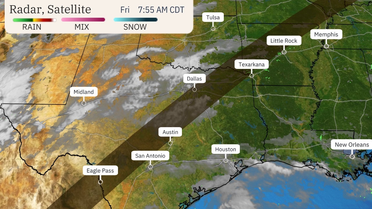
Rounds of heavy rain are expected in parts of eastern Texas, particularly closer to the coast. Locally heavy rainfall is likely at times, which may lead to flash flooding.
Some roads were flooded Friday morning near Nacogdoches, Texas.
 Current Radar, Watches and Warnings
NOAA's Weather Prediction Center noted in its discussion on Friday that "all of the ingredients one would look for in regards to flash flooding (outside the presence of a tropical cyclone) exist Friday into Saturday morning in South and Southeast Texas."
Due to the potential for flooding, flash flood watches have been posted into Sunday morning by the National Weather Service for parts of Texas, including Houston, Austin, San Antonio and Corpus Christi.
 Flood Alerts
Wet, Stormy Forecast
Saturday
Wet weather is expected across most of Texas Saturday. A few strong to severe thunderstorms, with damaging wind gusts, large hail and tornadoes, are possible in central and southern Texas.
Rain and thunderstorms will extend into southern and eastern Oklahoma, Arkansas and Louisiana Saturday night.
 Saturday's Forecast
Sunday
Showers and thunderstorms will develop in parts of the lower and mid-Mississippi valleys on Sunday. Severe thunderstorms are possible as well, primarily from southeastern Texas into Mississippi.
The chance for rain and thunderstorms will likely push eastward into the Tennessee Valley and parts of the Southeast Sunday night.
 Sunday's Forecast
Next Week
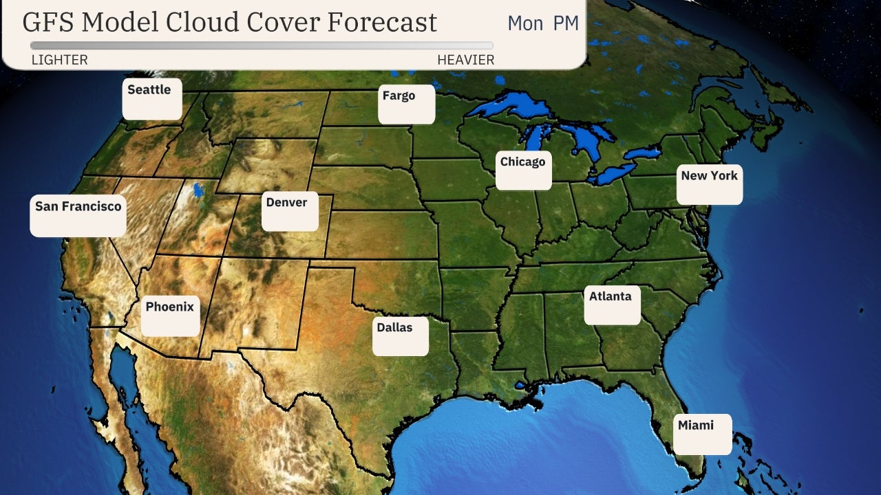
Another low-pressure system will move through the West this weekend and into the Plains early next week.
Severe thunderstorms will be possible with this next system, but it is too early for details. This part of the forecast will become clearer in the coming days.
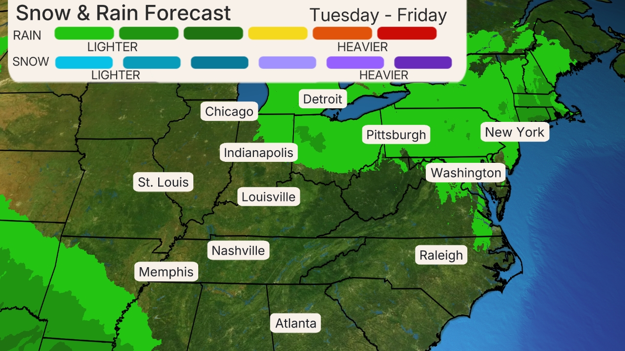
Heavy rainfall is also likely in parts of the Deep South, especially from northern Louisiana into the southern Appalachians, through the middle of next week. Flooding may be a concern, particularly if multiple rounds of thunderstorms develop over the same area for an extended period of time or on areas where the ground is already saturated from rainfall this week and over the weekend.
(MAPS: 7-Day Forecast)
 Setup For Early Next Week
How Much Rain?
A widespread area of more than an inch of rainfall is anticipated from central Texas into Tennessee and northern Georgia.
Pockets of heavier rainfall are likely in southern and eastern Texas and the lower Mississippi Valley. Some areas could pick up more than 5 inches of rain through the middle of next week.
 Rainfall Forecast
Some of this rainfall, as long as it isn't heavy enough to trigger flooding, will be beneficial.
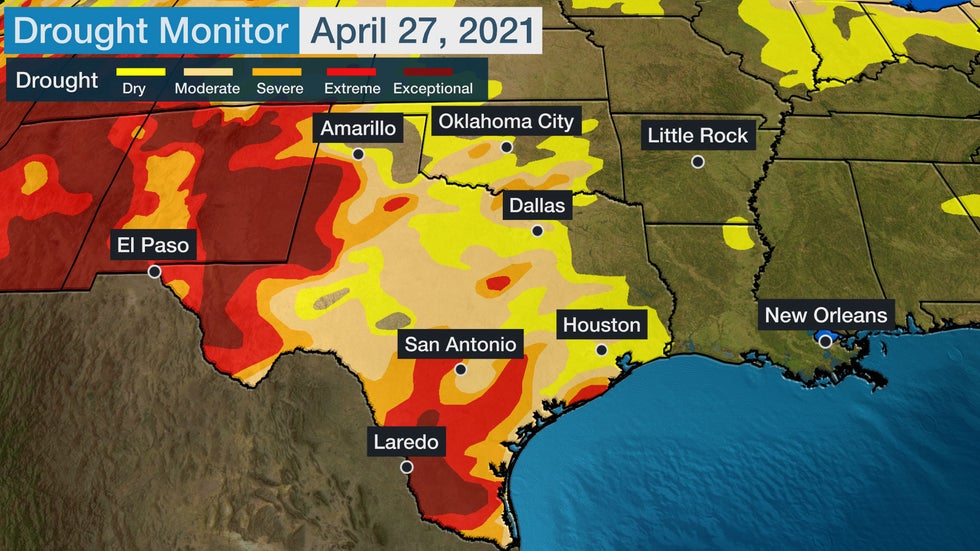
Almost 87% of Texas is at least abnormally dry, according to the latest U.S. Drought Monitor. About 10% of the Lone Star State is in exceptional drought, the highest drought category.
The Houston area has seen less than half of its year-to-date precipitation; Waco, Texas, has measured just 4.26 inches of rainfall this year, which is more than 6 inches below average.

However, in areas just a bit farther east, the story has been very different.
Parts of Louisiana are experiencing one of the 10 wettest Aprils on record. This includes Baton Rouge and New Orleans, where both cities have measured more than a foot of rainfall so far this month – more than 8 inches above average for April. Soil moisture there is wetter than average, which suggests heavy rainfall could increase flash flood concerns.
(MORE: We're Heading Into Prime Time for Flash Flooding)
The Weather Company’s primary journalistic mission is to report on breaking weather news, the environment and the importance of science to our lives. This story does not necessarily represent the position of our parent company, IBM.
The Weather Company’s primary journalistic mission is to report on breaking weather news, the environment and the importance of science to our lives. This story does not necessarily represent the position of our parent company, IBM.

No comments:
Post a Comment