Jonathan Erdman
Hurricane Teddy may be the second hurricane to strike Bermuda in a week, then could be a danger for parts of Atlantic Canada later next week, as the latest chapter in a frenetic 2020 Atlantic hurricane season.
Monday morning, Hurricane Paulette didn't simply strike Bermuda at Category 1 intensity – its large 35- to 40-mile-wide eye engulfed the entire 20-square-mile group of islands about 650 miles east of Hatteras, North Carolina.
Now, another hurricane, Teddy, is a threat to Bermuda.
Teddy may have to fight off wind shear, some dry air and also the cooler water churned up in the wake of Paulette. However, Teddy is currently forecast to track near Bermuda early next week, likely still as a hurricane.
Given the average uncertainty in forecast tracks of National Hurricane Center forecasts of 150 to 200 miles from four to five days out, it's too soon to determine the potential impacts, but all interests in Bermuda should monitor the forecast closely and prepare for the potential of another hurricane strike.
(MORE: What the Forecast Cone Means)
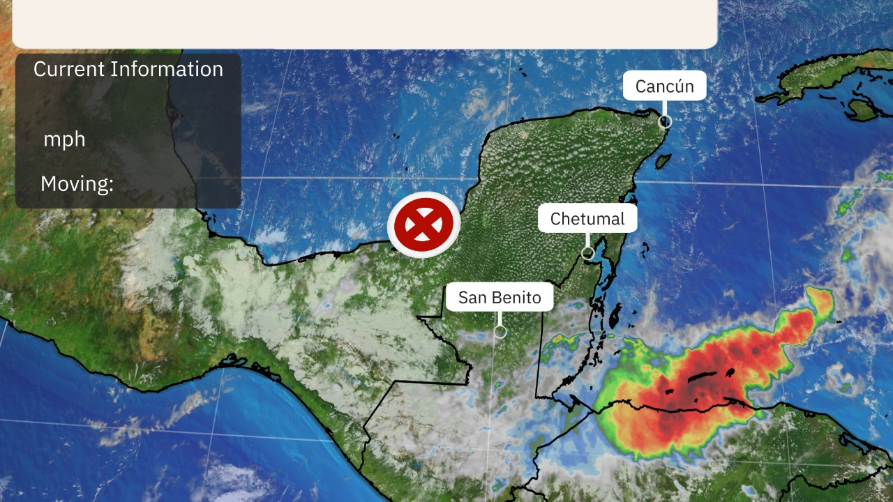 Current Information and Projected Path
What are the odds of back-to-back strikes on such a tiny part of the Atlantic Ocean? It's happened only once before in Bermuda.
In mid-October 2014, Hurricane Fay was unexpectedly damaging in Bermuda on Oct. 12, followed six days later by Hurricane Gonzalo, which was Bermuda's strongest and most damaging hurricane ($200 million to $400 million in damage) since Fabian in 2003.
Prior to Paulette this year, only eight hurricanes had passed close enough to strike Bermuda since 1970, according to NOAA's historical database.
Atlantic Canada, New England Concern?
Bermuda may not be the final chapter of Teddy.
As with all hurricanes, upper-level winds hold the key to where Teddy will track.
It's far too soon to determine Teddy's eventual path next week, but there are a few scenarios.
1. A sharp southward plunge of the jet stream over the Northeast U.S. this weekend heavily influences Teddy, keeping it either on a northward trajectory or even curling it toward the northwest. In this scenario, Teddy could eventually become a threat to at least parts of Atlantic Canada. If it were to curl northwest, it could even become a threat to parts of New England.
2. The aforementioned southward jet stream plunge doesn't "catch" Teddy, and the storm merely curves northeastward well away from the U.S. and perhaps either grazes or completely misses parts of Atlantic Canada.
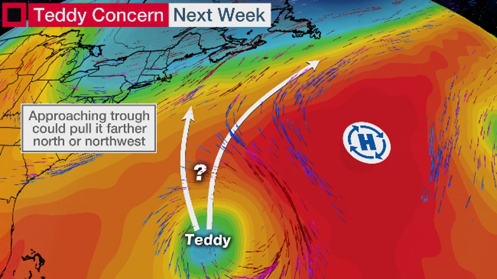 The potential steering winds for Teddy
Even if Teddy steers well clear of the U.S., it will likely be a major wave generator for the Eastern Seaboard, from the east coast of Florida to Maine.
For now, interests in Atlantic Canada and New England should monitor the forecast for Teddy and have their hurricane plans ready in case the storm becomes a threat.
The Weather Company’s primary journalistic mission is to report on breaking weather news, the environment and the importance of science to our lives. This story does not necessarily represent the position of our parent company, IBM.
The Weather Company’s primary journalistic mission is to report on breaking weather news, the environment and the importance of science to our lives. This story does not necessarily represent the position of our parent company, IBM.


No comments:
Post a Comment