The core of the above-average warmth will shift eastward toward the upper Midwest and Great Lakes on Tuesday, with many places running 15 to 25 degrees warmer than average. Widespread highs in the 80s and 90s are expected in those regions.
The hot temperatures will reach southern New England and the mid-Atlantic by Wednesday. Parts of those regions will be 5 to 15 degrees above average, translating to highs in the 80s and 90s. Washington, D.C., will make a run at 95 degrees Wednesday afternoon, which would be its hottest temperature so far this year. Philadelphia might reach 90 degrees for the first time in 2020.
Most of the Lower 48 will remain warmer than average through the end of the week as this weather pattern remains locked in place.
 Forecast Highs Compared to Average
As mentioned earlier, pockets of thunderstorms will ride the jet stream along the northern tier of the nation.
On Monday, a few severe storms with damaging winds and large hail are possible in parts of the northern High Plains and the upper Mississippi Valley.
There's a better chance of scattered severe thunderstorms on Tuesday across the upper Midwest. Damaging wind gusts and large hail are the main threats there.
 Tuesday-Tuesday Night Severe Thunderstorm Forecast
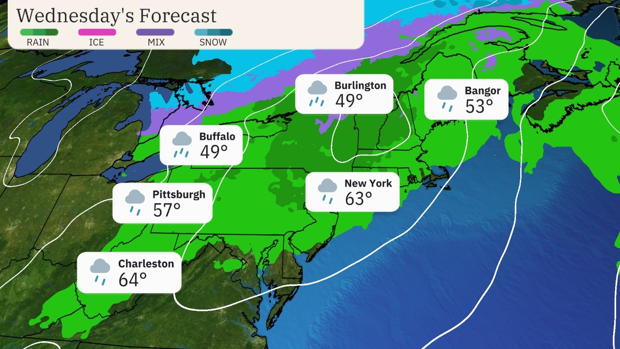
Additional strong to severe storms are possible on Wednesday from the mid-Mississippi and Ohio valleys to the mid-Atlantic.
The exact details on Wednesday's severe threat remain uncertain since it's a few days away, so check back to weather.com for updates.
 Wednesday's Forecast
The Weather Company’s primary journalistic mission is to report on breaking weather news, the environment and the importance of science to our lives. This story does not necessarily represent the position of our parent company, IBM.
The Weather Company’s primary journalistic mission is to report on breaking weather news, the environment and the importance of science to our lives. This story does not necessarily represent the position of our parent company, IBM.

No comments:
Post a Comment