WINTER WEATHER Updated Jan. 31, 2020 3:29 AM
A persistent train of storm systems fueled by an atmospheric river over the Pacific Ocean will continue impacting the Northwest. The repeated flow of storms across the region has resulted in many cities recording above-average precipitation totals and warmer-than-average temperatures this month. Heading into the final days of the month, the pattern looks to remain unchanged as disturbances continue to take aim.
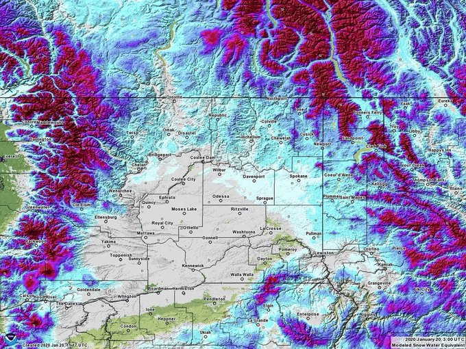
As a result of the warmer air and persistent storminess, snowpack across the valleys and even along the foothills of area mountains have had a significant decrease. Higher in elevation, where precipitation has fallen as snow, feet of fresh heavy powder has been observed during the same time frame.
NOAA satellite imagery shows an atmospheric river stretching across the Pacific Ocean. This plume will take aim at the Pacific Northwest into this weekend. (NOAA / GOES-West)
The unsettled pattern this month has brought about multiple hazards to the region as well. There has been an elevated risk for landslides, river flooding and avalanches in recent weeks, and these same threats will continue right through the end of the month.
The USGS Streamflow Data across Washington and Oregon show the results of a continuously wet pattern across the region, especially for areas along and west of the Cascades, with many area gauges reporting flow in the 76th percentile or higher.
The Northwest Avalanche Center continues to forecast a considerable threat for avalanches across much of the western Cascades as a result of the heavy snow observed across the high terrain. A more detailed pinpoint avalanche forecast for Washington and northern Oregon can be found here.
Unfortunately, the short-term forecast looks to reinvigorate all of these threats across the Pacific Northwest as a fresh slug of moisture takes aim at Washington and Oregon. Places like Seattle and Portland will once again have to deal with more rounds of wet weather.
RELATED:
"With unseasonably warm air expected to surge into the Northwest throughout the rest of this week, snow levels will be well above pass level in the Cascades. Rainfall totals of 2-3 inches are expected in Seattle through the end of the week, and these amounts could be doubled in parts of the Cascades and Olympic Mountains," AccuWeather Meteorologist Kyle Elliott said.

The storm system continue right through Friday across the region, but AccuWeather meteorologists are predicting that this wave of moisture will take a more northerly track into the coast. This will likely result in much of Northern California and Oregon remaining largely dry, while Washington and southern British Columbia receive the brunt of the wet weather.
The firehose of moisture is expected to swing back southward into this weekend and while doing so, colder air is expected to filter in as well.
This will act to drop snow levels down to more seasonable levels this weekend, bringing the threat for hazardous wintry weather across most of the passes.

By Sunday, snow levels may drop to around 2,000 feet or lower across the Cascades, allowing the snowpack in those elevations to build back up. A dip in the jet stream, responsible for the colder air, is expected to last through early next week.
As a result, the above-average temperatures seen across the region through the month of January will likely not translate over into the first week of February.
While the unsettled pattern has largely been a nuisance for travelers across the Northwest, there has been one travel route that has largely benefited from this weather pattern. Westerly wind speeds aloft at commercial flight levels of the atmosphere have aided in shaving time off flights coming to the United States from eastern Asia. In some flight cases, the tailwind across the Pacific averages out to around 100 mph during the flight. This added boost from the atmosphere gives pilots the ability to shorten the flight by over an hour in some cases.
Unfortunately, for those traveling to Asia from the states, expect a longer-than-normal flight time because of the strong headwind in place.
High winds are also effecting areas of southern California. Winds toppled a newly built section of the US border wall on Wednesday in El Centro, California, which made it fall on top of trees on the Mexican side of the border.
According to CNN, the area is part of an ongoing construction project to improve existing sections of the wall.
Keep checking back on AccuWeather.com and stay tuned to the AccuWeather Network on DirecTV, Frontier and Verizon Fios.


No comments:
Post a Comment