WINTER WEATHER Updated Jan. 18, 2020 9:43 AM
A storm system that first whipped the northeastern United States with strong winds, moderate to heavy snow and lake-effect squalls has exploded into a bomb cyclone after emerging over the Atlantic Ocean, and forecasters say it will hammer portions of Atlantic Canada.
The storm strengthened rapidly enough to be classified as a bomb cyclone as the barometric pressure crashed 1.21 inches of mercury in 24 hours, far exceeding the official criteria, which is a pressure fall of 0.71 of an inch of mercury in 24 hours.
Blizzard and high wind warnings are in effect across portions of Atlantic Canada.
A state of emergency has been declared in St. John's, Newfoundland, according to the city's Twitter account .
"All businesses are ordered to close and all vehicles are ordered off the road except emergency vehicles. Please return home until the order is lifted," officials said on Twitter.
Snow and winds increased across Nova Scotia, Prince Edward Island and southeastern New Brunswick Thursday night as the intensification took place.
The potent storm will tap moisture from the North Atlantic and continue as an all-out blizzard with heavy snow and high winds over Newfoundland through Friday night.

"The worst conditions will be over the eastern half of Newfoundland, in particular the Avalon Peninsula and the city of St. John's," AccuWeather Canada Weather Expert Brett Anderson said.
"A general 60 to 90 centimeters (2-3 feet) of snow is forecast to fall on the Avalon Peninsula and the southeastern half of the mainland of Newfoundland from the storm," Anderson said.
The storm has the potential to bring the greatest 24-hour snowfall since records began in 1942 at St. John's Airport.
The record of 68.4 centimeters, or more than 2 feet of snow in 24 hours could be broken at St John's.
High winds, with frequent gusts between 55 and 115 km/h (35 and 70 mph), during and shortly after the storm will cause massive drifts and temporary road closures. Winds this strong, which can reach hurricane force (119 km/h, 74 mph or greater), can lead to property damage and power outages.
Conditions will be punishing for those who need to head outdoors as the winds are expected to create dangerous AccuWeather RealFeel® Temperatures. Under such conditions, frostbite can occur in minutes on any exposed skin.
RELATED:
The winds will also generate mountainous seas surrounding the island. Large waves will pound the eastern shoreline of the island first, then the northern and western shoreline as the storm moves along and pulls away.
While winds will gradually decrease on Saturday, the day will remain quite blustery and cold. High temperatures are forecast to range between minus 10 and minus 8 C (14 and 18 F). AccuWeather RealFeel Temperatures will be 5-10 C (10-20 F) lower than the actual temperature.
Another storm with snow and gusty winds is forecast to hit the region later this weekend. That storm will hit the central U.S. from Friday to Saturday and the northeastern U.S. from Saturday to Sunday.
Keep checking back on AccuWeather.com for the latest details on the storm.


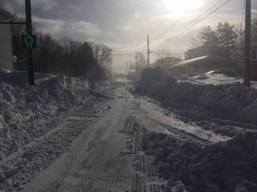
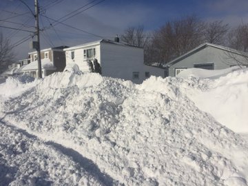
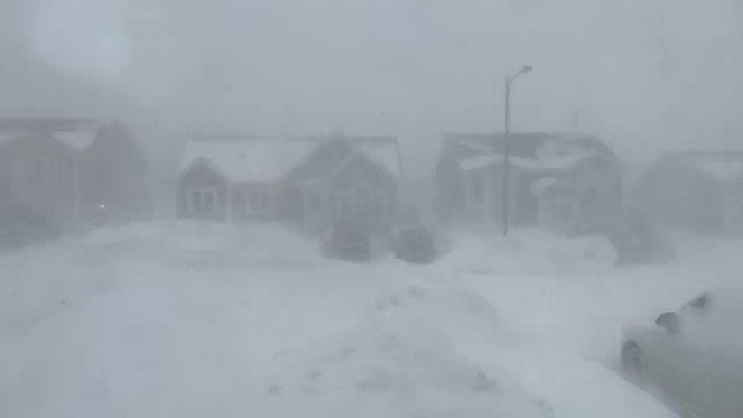
 A look around the neighborhood, on the morning after




No comments:
Post a Comment