A coastal storm will bring wet and windy conditions to parts of the East Coast this weekend into early week while also prolonging threats of high surf, rip currents, coastal flooding and beach erosion.
Strong high pressure will be over the Northeast for most of this weekend. At the same time, low pressure will strengthen off the Southeast coast. The contrast between the high- and low-pressure systems will drive persistent strong winds near the Southeast and mid-Atlantic coast.
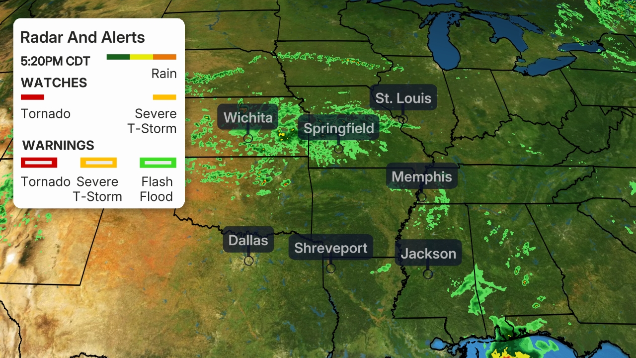
Rain will continue to fall in parts of the Southeast this weekend and winds will increase on Saturday.
Multiple cars were underwater near the canal in Pooler, Georgia, Saturday morning, as heavy rain fell. Up to 6 inches of water was reported along the battery in Charleston, South Carolina, with 6 to 12 inches of water on roads near the cruise ship terminal.
Strong winds blowing over a large area of the ocean for a long time generate significant waves. The waves will be pushed toward the coast from Florida at least to the Virginia Tidewater and coastal mid-Atlantic this weekend.
On Sunday, this low should nudge a bit farther northeastward but still remain near the East Coast.
By late Monday, the offshore low should move either toward the Canadian Maritimes or farther out to sea, with wind and waves along the coast gradually winding down.
Coastal Storm Forecast Impacts
Wind
Gusty winds will blast into areas from the Southeast coast to the Virginia Tidewater and the coastal mid-Atlantic this weekend.
Winds could occasionally gust over 40 mph Saturday into Sunday, particularly from the coastal Carolinas into the Virginia Tidewater. The strongest winds are expected in North Carolina's Outer Banks, where gusts over 60 mph are possible. As a result, the National Weather Service has issued high wind warnings into Sunday evening for parts of eastern North Carolina and southeastern Virginia.
Localized power outages are possible from extreme eastern North Carolina to the Virginia Tidewater.

High Surf, Coastal Flooding and Beach Erosion
High surf, beach erosion and coastal flooding will impact areas from the Southeast coast into the Virginia Tidewater and the coastal mid-Atlantic. Coastal flooding may extend toward Long Island and southern New England later this weekend.
Persistent northeasterly winds have been driving higher than normal tide levels into parts of the Southeast coastline since Wednesday.
Some locations well inland have also seen a storm surge, including New Bern, North Carolina.
WxNode Instagram
The coastal flooding threat will worsen this weekend, particularly from eastern North Carolina into the Virginia Tidewater. At least moderate and possibly major coastal flooding is expected, including along soundside areas of the Outer Banks.
Ocean overwash from breaking waves might cause Highway 12 in the Outer Banks to become impassable north of Cape Hatteras, the National Weather Service said.
Ocracoke Island in the southern Outer Banks could be another location vulnerable to coastal flooding, beach erosion and ocean overwash, since it was hit hard by Hurricane Dorian in September.
The National Weather Service has noted that vulnerable areas could see severe and possibly destructive flooding. Structural damage is possible, some neighborhoods will be isolated and evacuations may be needed.

Rainfall
Rain has already fallen in the Southeast and just over 6 inches of rain has been measured near Olustee, Florida, and Folkston, Georgia, reported 4.5 inches as of early Friday.
Periods of rain will then continue in portions of the Southeast through Saturday.
The highest rain chances will shift northward Sunday into Sunday night, affecting areas from eastern North Carolina into parts of the coastal mid-Atlantic states and possibly coastal New England.
Some areas on the Southeast coast could receive an additional inch or more of rain, particularly in eastern North Carolina. The chance of flash flooding is low overall, but the rain could exacerbate coastal flooding in spots.
On the plus side, the rains will bring some relief to parts of the Southeast that have been dealing with moderate to severe drought, including northern Georgia and western South Carolina.

Wintry Weather in the Northeast?
It remains uncertain how close the low-pressure system will track to the Northeast Monday.
Depending on the exact track of that low, wintry weather could spread into parts of the interior Northeast, with rain likely along the Interstate 95 corridor and near the coast.
Freezing rain, sleet and snow are all possible precipitation types from the northern tier of Pennsylvania into upstate New York as well as western and northern New England.
Even though precipitation will be mostly on the light side, travel could be affected in some areas from late Sunday night into Monday morning, especially where any freezing rain or sleet falls onto very cold surfaces. The chance for some ice and snow may linger into Tuesday in northern New York and northern New England.
Check back with us at weather.com for updates to this forecast as details come into focus over the next few days.

Coastal Storms Are Not Unusual in Fall
Slow-moving coastal storms aren't unusual along the East Coast this time of year.
Ten years ago, a remnant of Gulf of Mexico Hurricane Ida transformed into a powerful non-tropical storm that stalled for days near the Outer Banks of North Carolina. The Weather Channel dubbed this storm “Nor’Ida”, a combination of the term nor'easter and Ida.
Three years before Superstorm Sandy, Nor’Ida caused an estimated $180 million in damage along the New Jersey shore. Delaware was also hard-hit as the storm carried away at least 4 million cubic yards of sand.
The Hampton Roads area around Norfolk, Virginia, experienced serious coastal flooding from storm surge, freshwater flooding from up to 18 inches of rain and strong, damaging wind gusts to 75 mph.
Closer to the center of Nor’Ida, the Outer Banks took a hammering with a foot of rain and relentless coastal flooding that led to the closure of Highway 12. That road was temporarily buried under feet of sand.
The Weather Company’s primary journalistic mission is to report on breaking weather news, the environment and the importance of science to our lives. This story does not necessarily represent the position of our parent company, IBM.
The Weather Company’s primary journalistic mission is to report on breaking weather news, the environment and the importance of science to our lives. This story does not necessarily represent the position of our parent company, IBM.


No comments:
Post a Comment